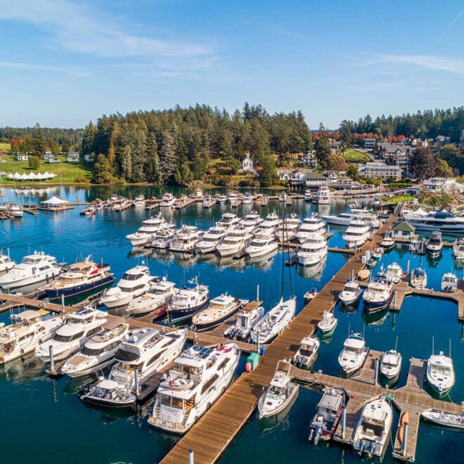
Turn Point, Stuart Island, WA Weather Forecast and Current Conditions
| Day | Sky | High / Low | Precip | Wind | Humidity | |
|---|---|---|---|---|---|---|
|
Thu Nov 5 |
 |
Rain Close Hourly |
-º / 49º | 91% | SE 15 mph | 91% |
| 5pm |  |
Cloudy | 51º | 3% | SE 4 mph | 92% |
| 6pm | |
Cloudy | 51º | 3% | SSE 4 mph | 92% |
| 7pm | |
Cloudy | 50º | 7% | SE 4 mph | 93% |
| 8pm |  |
Showers | 50º | 37% | SE 5 mph | 92% |
| 9pm | |
Few Showers | 50º | 34% | SE 7 mph | 91% |
| 10pm | |
Cloudy | 51º | 19% | SE 9 mph | 90% |
| 11pm | |
Cloudy | 51º | 21% | SE 10 mph | 89% |
|
Fri Nov 6 |
|
Rain/Wind View Hourly |
55º / 49º | 79% | SSE 25 mph | 85% |
| 1am | |
Cloudy | 51º | 18% | SE 11 mph | 89% |
| 2am | |
Cloudy | 51º | 19% | SE 11 mph | 90% |
| 3am | |
Light Rain | 51º | 63% | SSE 11 mph | 90% |
| 4am | |
Rain | 50º | 90% | SE 12 mph | 93% |
| 5am | |
Rain | 50º | 92% | SE 13 mph | 93% |
| 6am | |
Light Rain | 50º | 80% | SE 15 mph | 93% |
| 7am | |
Light Rain | 50º | 65% | SE 18 mph | 90% |
| 8am | |
Showers | 50º | 55% | SE 19 mph | 88% |
| 9am | |
Light Rain/Wind | 51º | 60% | SE 22 mph | 87% |
| 10am | |
Showers/Wind | 52º | 39% | SE 25 mph | 85% |
| 11am | |
Showers/Wind | 52º | 47% | SE 25 mph | 83% |
| 12pm | |
Rain/Wind | 53º | 74% | SE 25 mph | 82% |
| 1pm | |
Rain/Wind | 53º | 80% | SSE 22 mph | 82% |
| 2pm | |
Rain/Wind | 54º | 62% | SSE 20 mph | 84% |
| 3pm | |
Showers | 54º | 40% | SSE 18 mph | 85% |
| 4pm | |
Few Showers | 55º | 31% | SSE 17 mph | 85% |
| 5pm | |
Cloudy | 55º | 24% | SSE 16 mph | 85% |
| 6pm | |
Cloudy | 54º | 14% | SSE 14 mph | 87% |
| 7pm | |
Cloudy | 54º | 14% | SSE 13 mph | 85% |
| 8pm |  |
Mostly Cloudy | 53º | 6% | S 14 mph | 85% |
| 9pm | |
Mostly Cloudy | 53º | 6% | S 12 mph | 87% |
| 10pm | |
Mostly Cloudy | 52º | 6% | S 11 mph | 88% |
| 11pm | |
Mostly Cloudy | 51º | 6% | SSW 10 mph | 90% |
|
Sat Nov 7 |
|
Cloudy View Hourly |
57º / 49º | 24% | ESE 20 mph | 86% |
| 12am | |
Mostly Cloudy | 51º | 13% | SSW 9 mph | 91% |
| 1am | |
Cloudy | 50º | 18% | S 7 mph | 93% |
| 2am | |
Cloudy | 50º | 18% | SSE 5 mph | 95% |
| 3am | |
Cloudy | 50º | 18% | SE 4 mph | 96% |
| 4am | |
Cloudy | 50º | 23% | SE 5 mph | 97% |
| 5am | |
Cloudy | 50º | 24% | E 5 mph | 98% |
| 6am | |
Few Showers | 50º | 30% | E 5 mph | 97% |
| 7am | |
Cloudy | 50º | 24% | E 6 mph | 95% |
| 8am | |
Cloudy | 51º | 20% | E 8 mph | 93% |
| 9am | |
Cloudy | 51º | 19% | E 9 mph | 91% |
| 10am | |
Cloudy | 52º | 24% | E 9 mph | 88% |
| 11am | |
Showers | 53º | 35% | E 9 mph | 85% |
| 12pm | |
Cloudy | 53º | 24% | E 10 mph | 84% |
| 1pm | |
Cloudy | 54º | 10% | ESE 10 mph | 82% |
| 2pm | |
Cloudy | 55º | 14% | ESE 11 mph | 81% |
| 3pm | |
Cloudy | 56º | 8% | SE 13 mph | 81% |
| 4pm | |
Cloudy | 56º | 8% | SE 15 mph | 82% |
| 5pm | |
Cloudy | 57º | 13% | SSE 17 mph | 82% |
|
Sun Nov 8 |
 |
AM Showers/Wind | 54º / 44º | 41% | SSW 23 mph | 76% |
|
Mon Nov 9 |
|
PM Showers | 51º / 48º | 51% | E 16 mph | 82% |
|
Tue Nov 10 |
|
Rain | 56º / 51º | 82% | SE 18 mph | 90% |
|
Wed Nov 11 |
|
Showers | 58º / 51º | 58% | SE 18 mph | 88% |
|
Thu Nov 12 |
|
Light Rain | 54º / 48º | 66% | SSE 10 mph | 86% |
-
Buoy Data
For Turn Point, Stuart Island, WA -
Wind Forecast
In Turn Point, Stuart Island, WA -
Radar
In Turn Point, Stuart Island, WA -
Marine Forecast
In Turn Point, Stuart Island, WA