US Harbors is the #1 Source for Tide Charts and Coastal Information for over 1,400 harbors in 30 coastal states. Our curated data helps you plan smarter, enjoy your time on the water, and stay ahead of rapidly changing tides, storms, and flooding.
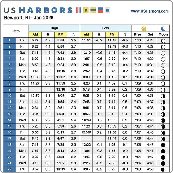
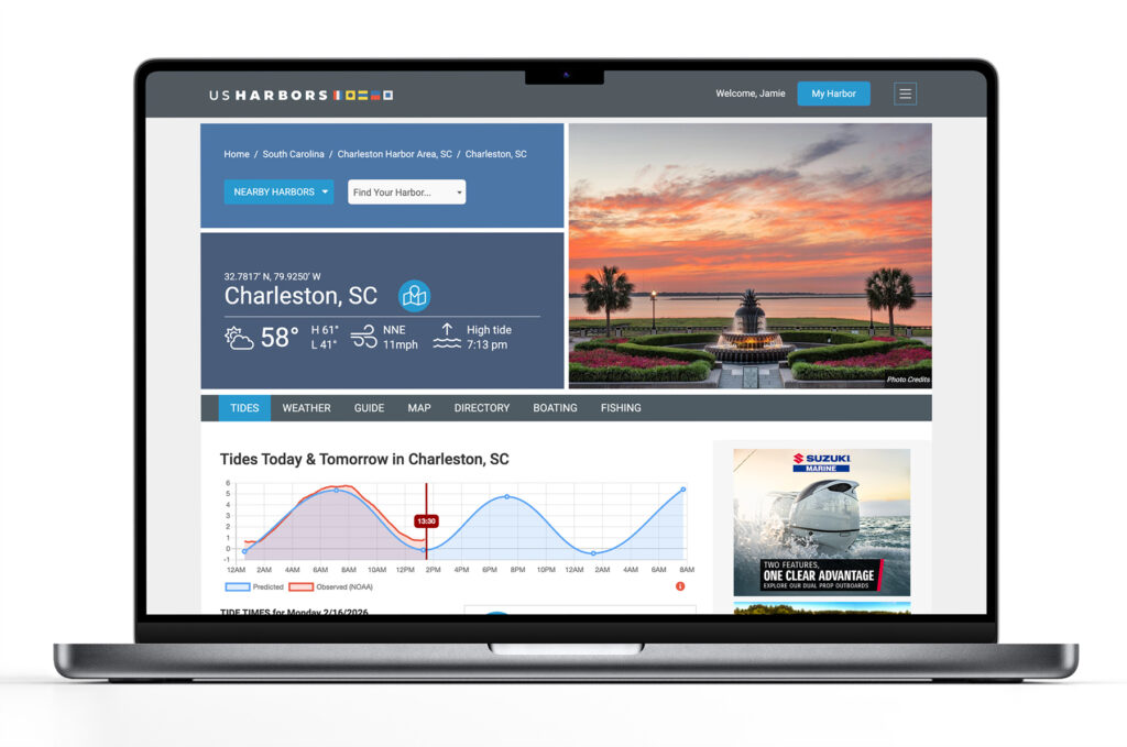
Tide Charts
US Harbors illustrates tide forecasts with our simple, intuitive charts. Easily scan the highs and lows online or print a convenient monthly tide chart for the boat or office.
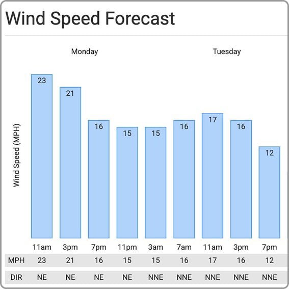
Weather
US Harbors delivers weather predictions with a focus on marine forecasts, buoy data, weather alerts, and onshore forecasts for harbors near you that include wind speed and direction, relative humidity, and more.
High Tide Flooding
Each month, we publish a high-tide flooding report for forecasted harbors across the country. Look for harbors near you to know when extreme high tides could cause flooding. Sign up for our newsletter to be alerted to new high tide flooding reports.
Latest Coastal News Filter
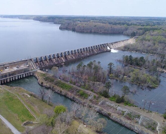
Balancing Energy Production and Aquatic Resources in the Roanoke River
By fisheries.noaa.gov, fisheries.noaa.gov. At the Roanoke Rapids Dam, a hydroelectric facility on the Roanoke River in North Carolina, NOAA Fisheries collaborated with Dominion Energy and partners to evaluate how adjusting the flow of water affects migratory fish and mussel populations in the river. Monitoring results are helping to ensure these… SEE MORE

NOAA’s Use Of Cloud Infrastructure Grows To Include Weather Prediction Models
By noaa.gov, noaa.gov. In the latest innovation to NOAA’s operational weather forecast model technology, the agency announced today that it is moving its high-performance supercomputing operations to the commercial cloud. This transition of NOAA’s Weather and Climate Operational Supercomputing System (WCOSS) supports current and future improvements to NOAA’s suite of… SEE MORE
Gulf Fishery Management: Progress Through Partnership
By fisheries.noaa.gov, fisheries.noaa.gov. From spiny lobster in the Florida Keys to red snapper off the coast of Texas, the Gulf of America’s rich waters support robust recreational and commercial fisheries. In fact, this area leads the nation in recreational landings, generates the second largest commercial landings revenue, and fuels a $20 billion annual fishing economy. A… SEE MORE
FEATURED CONTENT

In The Zone: The Sabre 51 Salon Express
By US Harbors When Sabre Yachts completed construction of hull number 200 of its 48 Salon Express model, more than half the crew who built it had also worked on hull number one. The average tenure on that line was 12 years, and they produced a yacht that proved to… Learn More
Why NOAA Matters: Maine's Island Institute Makes the Case
Why NOAA Matters: Maine’s Island Institute Makes the Case Every mariner who checks a forecast before leaving the dock, every harbormaster tracking a king tide, and every fishing family checking for water temperature shifts is relying, often without thinking about it, on the National Oceanic and Atmospheric Administration, commonly shortened… SEE MORE
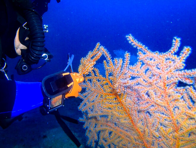
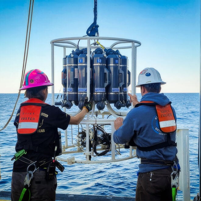
Deep Diving and Innovation to Restore the Gulf's Mesophotic Corals
By fisheries.noaa.gov, fisheries.noaa.gov. Deep in the Gulf of America lies a vital but little-known habitat. In the “mesophotic” (middle light) zone are coral ecosystems that are essential to the Gulf’s food web. In 2010, the Deepwater Horizon oil spill injured extensive areas of this delicate environment. Today, scientists across federal agencies and… SEE MORE
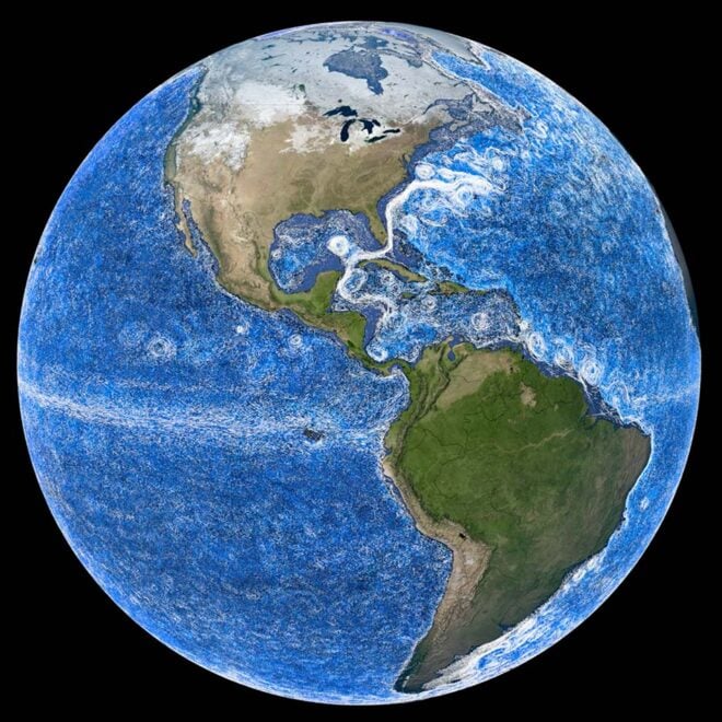
Going With The Flow: Visualizing Ocean Currents with ECCO
By James Riordon, science.nasa.gov. Historically, the ocean has been difficult to model. Scientists struggled in years past to simulate ocean currents or accurately predict fluctuations in temperature, salinity, and other properties. As a result, models of ocean dynamics rapidly diverged from reality, which meant they could only provide useful information… SEE MORE
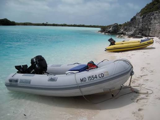
An Easy Fix for Faded Boat Registration Numbers on Your Dinghy
By Arnie Hammerman, best4boats.com. If your dinghy’s registration numbers are peeling, fading, or falling off entirely, you’re not alone — and there’s a better solution than trying to paint or stick individual decals back on. A hands-on gear column from Best4Boats walks through a practical, long-lasting fix using custom-made number… SEE MORE
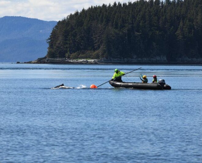
Humpback Whale Successfully Freed from Entanglement in Endicott Arm
By fisheries.noaa.gov, fisheries.noaa.gov. The Tracy Arm-Fords Terror wilderness, located 50 miles south of Juneau, Alaska, features a pair of steep glacial fjords: Tracy Arm and Endicott Arm. While remote, the waters in this area see steady vessel traffic, ranging from massive cruise ships and small charter boats to commercial fishing… SEE MORE
Featured Harbors
Cast off the lines, explore the coast, and discover new harbors!
-
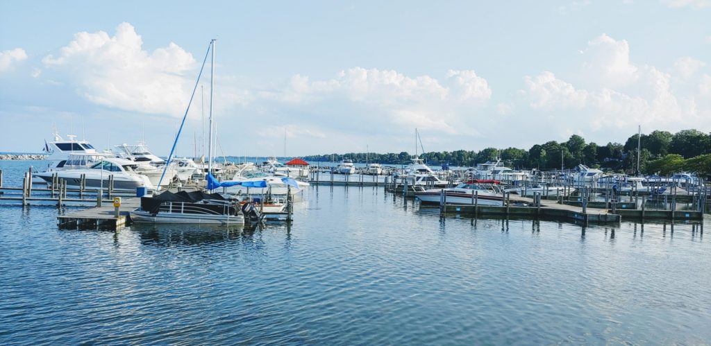 Lexington, MI
Michigan
Lexington, MI
Michigan
-
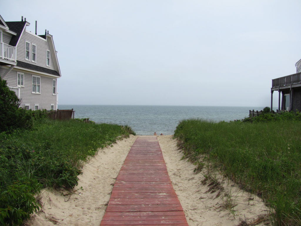
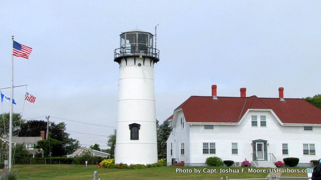 Chatham, MA
Massachusetts
Chatham, MA
Massachusetts
-
 Biddeford Pool, ME
Southern Coast & Casco Bay, ME
Biddeford Pool, ME
Southern Coast & Casco Bay, ME
-
 Barnstable Harbor, MA
Massachusetts
Barnstable Harbor, MA
Massachusetts
-
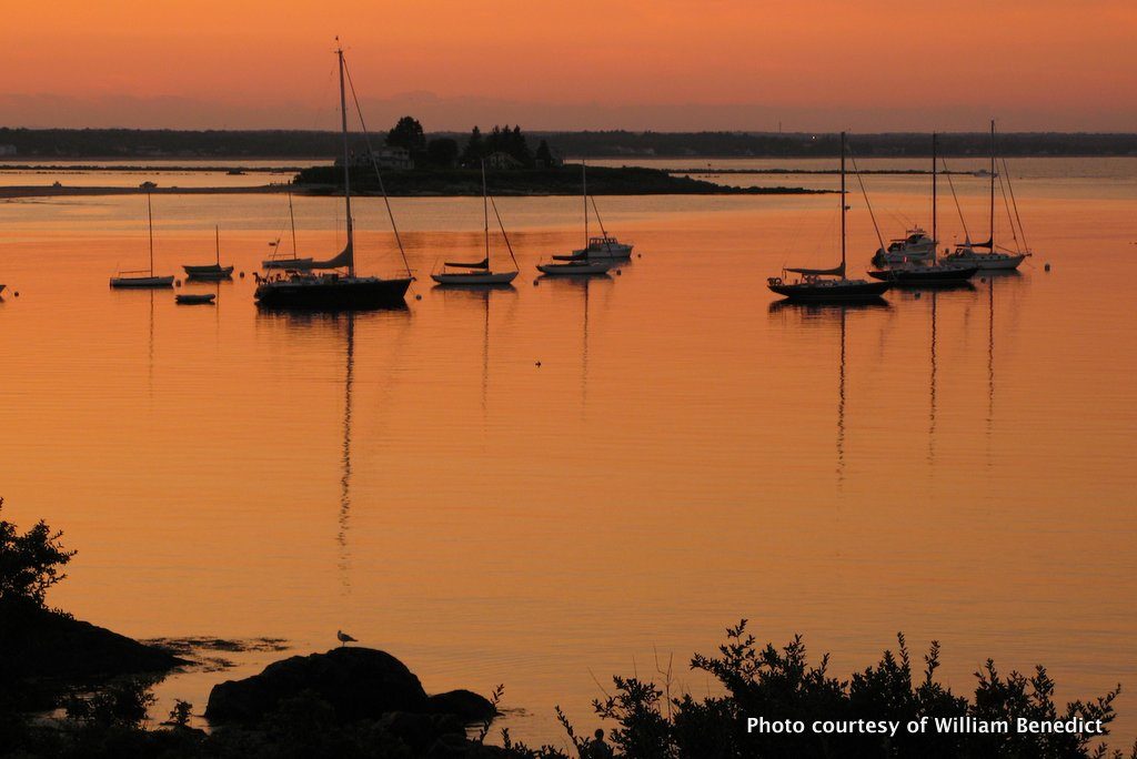
 New Harbor, ME
Midcoast & Penobscot Bay, ME
New Harbor, ME
Midcoast & Penobscot Bay, ME
-
 Wrightsville Beach, NC
Southern Shore, NC
Wrightsville Beach, NC
Southern Shore, NC
-
 Weekapaug Point, RI
Rhode Island
Weekapaug Point, RI
Rhode Island
-
 Savannah, GA
Georgia
Savannah, GA
Georgia
-
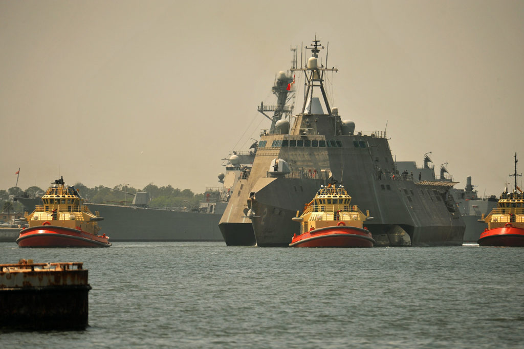 Mayport Naval Station, St Johns R, FL
Northeast, FL
Mayport Naval Station, St Johns R, FL
Northeast, FL
-
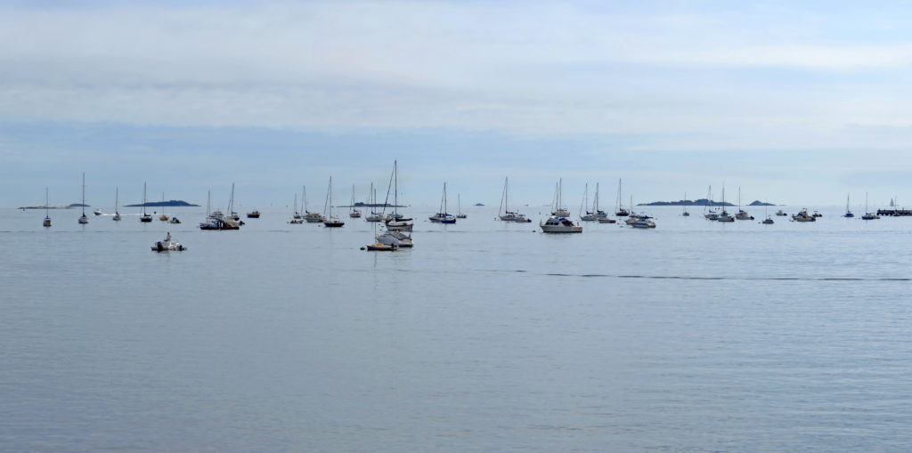
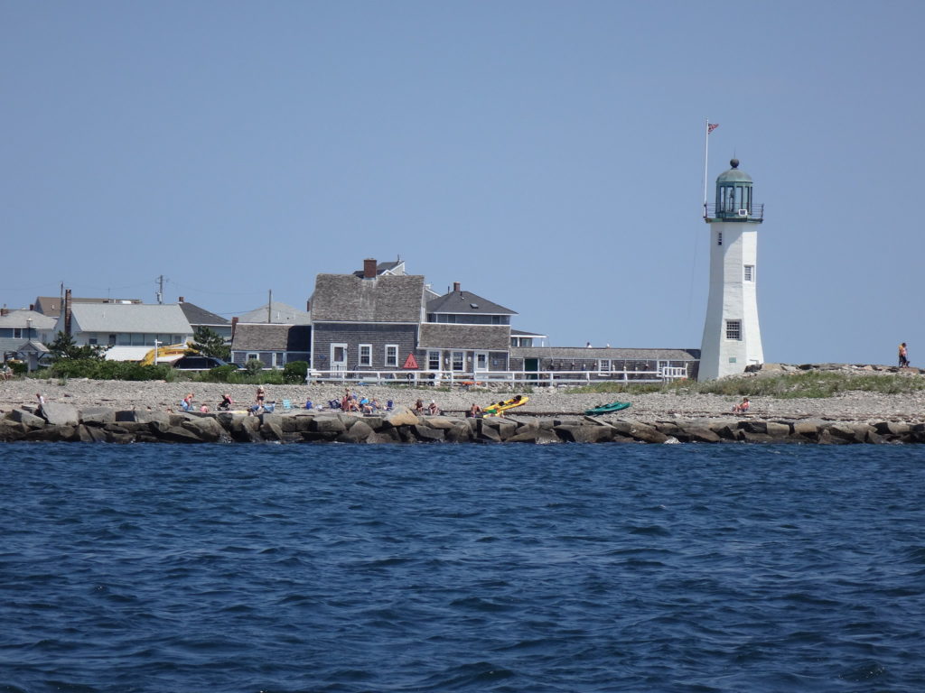 Scituate Harbor, MA
Massachusetts
Scituate Harbor, MA
Massachusetts
-
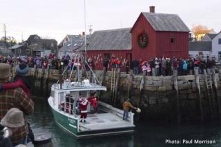 Rockport, MA
North Shore, MA
Rockport, MA
North Shore, MA
-
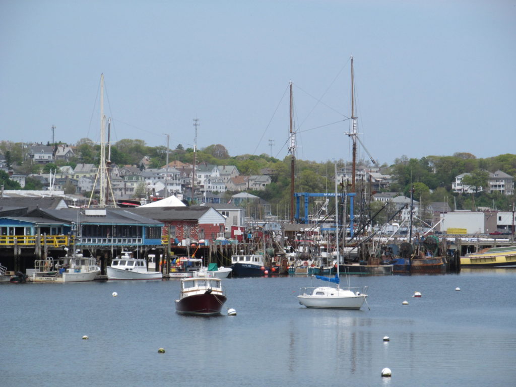 Gloucester, MA
North Shore, MA
Gloucester, MA
North Shore, MA
-
 Dennis Port, MA
Massachusetts
Dennis Port, MA
Massachusetts
-
 Beverly, MA
North Shore, MA
Beverly, MA
North Shore, MA
-
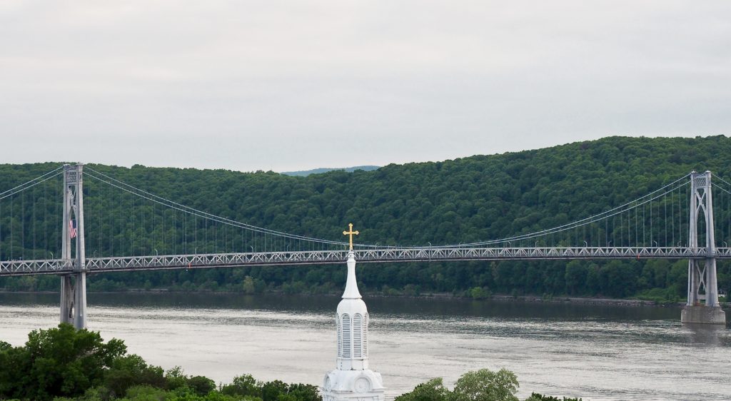 Poughkeepsie, NY
New York
Poughkeepsie, NY
New York