Find Coastal & Marine Weather Forecasts
Latest Weather News Filter

NOAA’s Use Of Cloud Infrastructure Grows To Include Weather Prediction Models
By noaa.gov, noaa.gov. In the latest innovation to NOAA’s operational weather forecast model technology, the agency announced today that it is moving its high-performance supercomputing operations to the commercial cloud. This transition of NOAA’s Weather and Climate Operational Supercomputing System (WCOSS) supports current and future improvements to NOAA’s suite of… SEE MORE
Why NOAA Matters: Maine's Island Institute Makes the Case
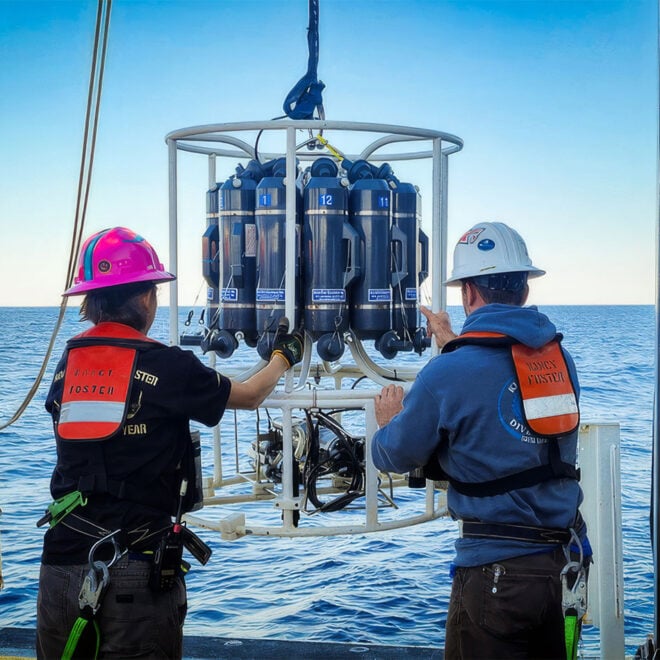
Why NOAA Matters: Maine’s Island Institute Makes the Case Every mariner who checks a forecast before leaving the dock, every harbormaster tracking a king tide, and every fishing family checking for water temperature shifts is relying, often without thinking about it, on the National Oceanic and Atmospheric Administration, commonly shortened… SEE MORE
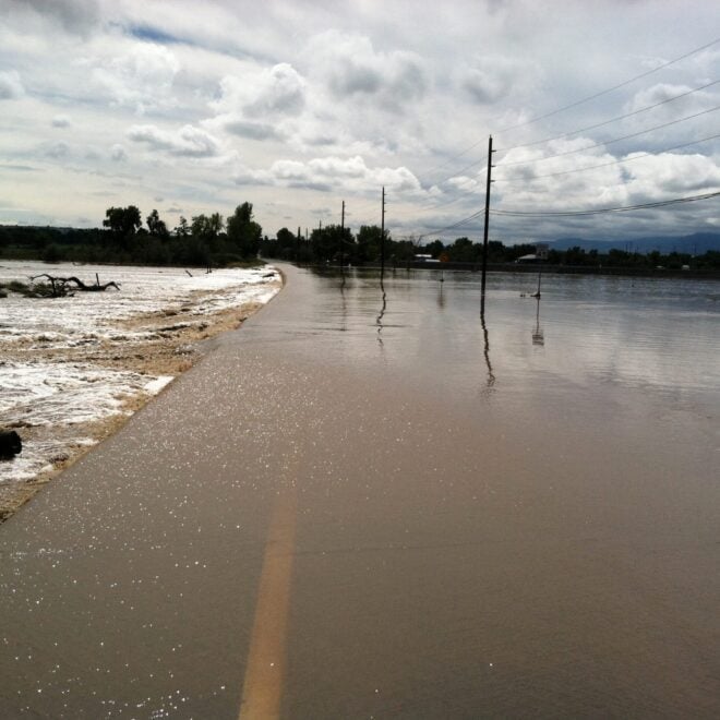
Sudden Danger: The Science And Stakes of Flash Flood Forecasting
By research.noaa.gov, research.noaa.gov. Though not as feared as tornadoes, hail, or lightning, flash floods are one of the deadliest weather hazards in the United States. While the number of fatalities can vary dramatically from year to year, the national average for flood deaths is 88. Lightning accounts for an average of… SEE MORE
El Nino Forms, Expected To Strengthen, Say NOAA Forecasters
By noaa.gov, noaa.gov. NOAA’s National Weather Service announced today that El Nino has developed in the tropical Pacific, and issued an El Nino Advisory. El Nino, the warm phase of the El Nino Southern Oscillation (ENSO), is predicted to intensify to a moderate or strong level this fall. Forecasters predict… SEE MORE
What World Ocean Day Can Look Like in 100 Years
By noaa.gov, noaa.gov. More often than not, when we talk about ocean conservation, the conversation naturally gravitates toward what we stand to lose if we don’t act. This is only natural, as the urgency of the climate and biodiversity crises forces us to consider a future where our most cherished… SEE MORE
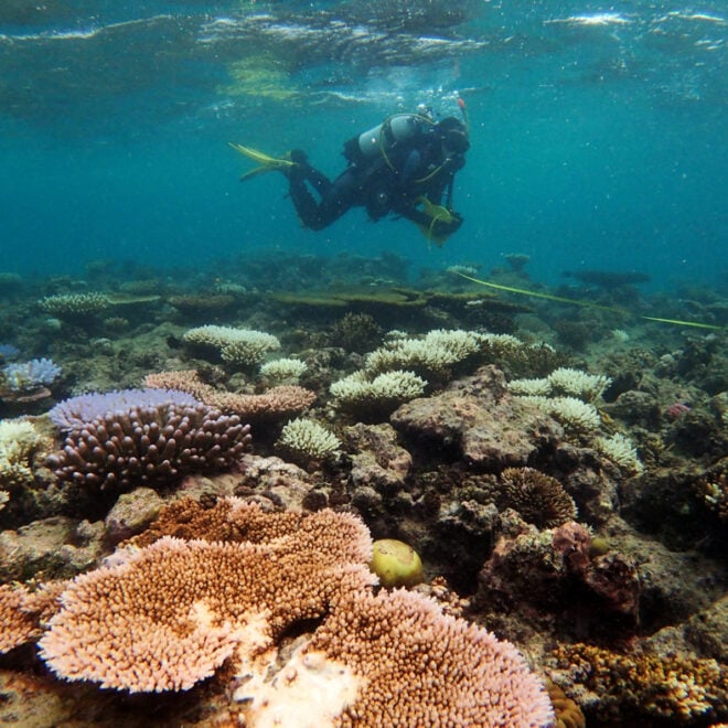
WHOI Develops Tool to Predict Coral Bleaching Months Before It Strikes
By whoi.edu, whoi.edu. A new forecasting tool from Woods Hole Oceanographic Institution could give reef managers and coastal communities a five-to-six-month head start on one of the ocean’s most destructive events: coral bleaching. Called the Bleaching Event Early Predictor (BEEP), the system works by tracking three large-scale climate patterns in… SEE MORE
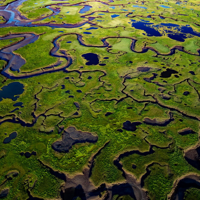
The Coast Is Clear-er: NOAA Unveils New Land Cover Maps 900 Times Greater In Detail
By noaa.gov, noaa.gov. NOAA is releasing new, higher-resolution land cover maps for coastal Alabama, Mississippi, Northeastern Ohio, Rhode Island, and the Puget Sound in Washington. The data will be made available through the Digital Coast website and will provide these communities with better information for decisions related to stormwater management, water quality… SEE MORE
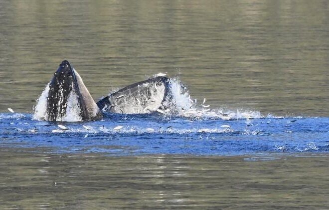
Capelin: a “Sea Canary” for Marine Ecosystem Change in Response to Heatwaves
By fisheries.noaa.gov, fisheries.noaa.gov. Capelin are a major forage fish species in high-latitude marine ecosystems. Recent heatwaves in Alaska led to a dramatic decline in capelin abundance, which can have major impacts on predators, including marine mammals, seabirds, and fish. Twenty years ago, Dr. George Rose with Memorial University of Newfoundland called capelin… SEE MORE


