Sudden Danger: The Science And Stakes of Flash Flood Forecasting
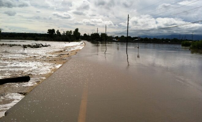
7/2/2026 - By research.noaa.gov, research.noaa.gov. Though not as feared as tornadoes, hail, or lightning, flash floods are one of the deadliest weather hazards in the United States. While the number of fatalities can vary dramatically from year to year, the national average for flood deaths is 88. Lightning accounts for an average of… SEE MORE