Image Credits: PICRYL.

Weather Forecasting Is Deadly for Marine Wildlife

10/31/2024 - By Danielle Beurteaux. Latex balloons designed to collect high-altitude data become a threat to marine animals after they burst—though the scale of their impact remains unknown. On a fall day in 2023, a juvenile Atlantic yellow-nosed albatross was lying listless in southeastern Brazil’s Santos Basin. Beach monitors found the young bird in… SEE MORE
Students learn first hand about ocean acidification as part of a NOAA Climate Stewards Program in 2016. (Image credit: Dieuwertje Kast/ University of Southern California Joint Educational Project)

Federal Science Agencies Update the Nation’s Climate Literacy Guide

10/5/2024 - By noaa.gov. Guide to inform community decision-makers, workers, educators and students. Today, the U.S. Global Change Research Program (USGCRP) released the third edition of the nation’s climate literacy guide: Climate Literacy: Essential Principles for Understanding and Addressing Climate Change. The guide presents information that is important for individuals and communities to know and… SEE MORE
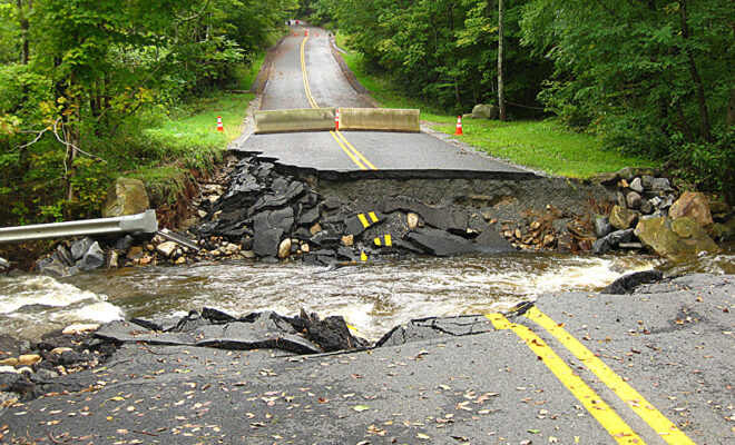
Extreme rain causes culvert washout at Walker Brook in Becket, Massachusetts. (Image credit: Photo courtesy Massachusetts Division of Ecological Restoration.)

Update to U.S. Precipitation Frequency Standards Now Accounts for Climate Trends

10/3/2024 - By noaa.gov. NOAA seeks stakeholder feedback on Precipitation Atlas 15 pilot data before expanding nationwide. A key scientific NOAA resource on extreme precipitation that is widely used by floodplain managers, city planners, civil engineers, developers and communities across the nation will soon include climate trend data. NOAA’s Precipitation Frequency Atlas of… SEE MORE
Red and yellow maple leaves with a light covering of snow.

Fall Safety: Prepare for Wildfires and Pending Winter Weather

9/12/2024 - By noaa.gov. Get ready for autumn by planning for seasonal weather hazards Fall may bring images of changing leaves, football games and pumpkin patches to mind, but as we prepare for these annual autumn favorites, it’s also time to prepare for potential weather hazards. This fall, NOAA’s National Weather Service… SEE MORE
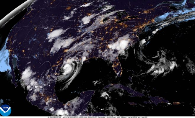
A satellite image of Beryl approaching land on the Texas coast in the Gulf of Mexico taken by NOAA's GOES-16 (GOES East) satellite at 11:56 PM (EDT) on July 7, 2024. (Image credit: Beryl approaches Texas coast.)

Highly active hurricane season likely to continue in the Atlantic

8/19/2024 - By noaa.gov. Near-record sea surface temperatures and the possibility of La Nina are key factors. Atmospheric and oceanic conditions have set the stage for an extremely active hurricane season that could rank among the busiest on record. With the peak of hurricane season quickly approaching, NOAA’s National Weather Service urges… SEE MORE
High tide flooding April 12, 2024, blocks businesses in Annapolis, Maryland. (NOAA photo)

High Tide Flooding may Lessen across the U.S., NOAA Scientists Predict

8/7/2024 - By noaa.gov. After record-breaking coastal flooding, La Niña could slightly reduce number of flood days NOAA’s 2024-25 Annual High Tide Flooding Outlook predicts fewer high-tide flood days than last year. The outlook documents high-tide flooding events from May 2023 to April 2024 at 97 NOAA tide gauges along the U.S. coast. It… SEE MORE