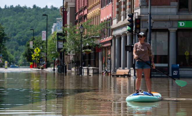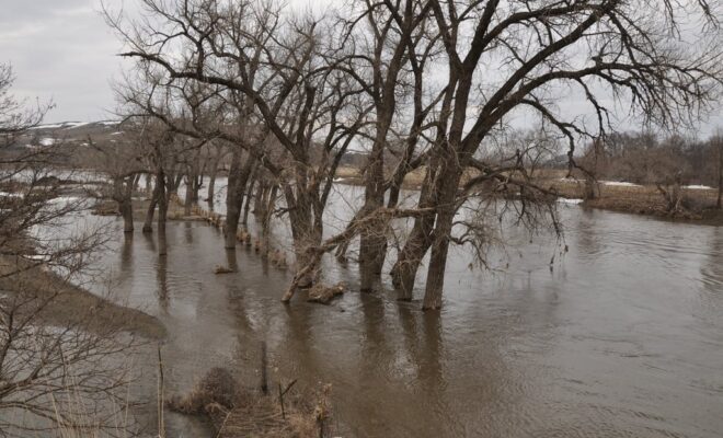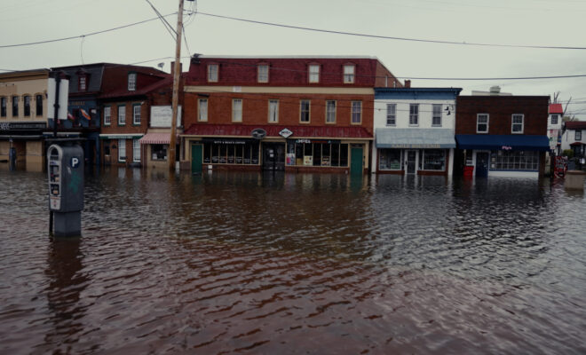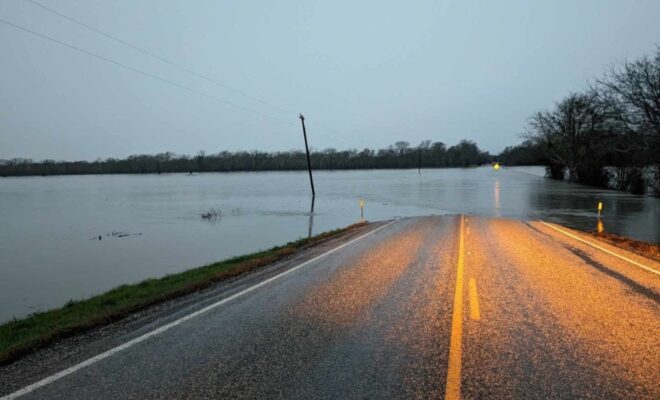
NOAA’s flood mapping tool now covers nearly 100% of U.S.
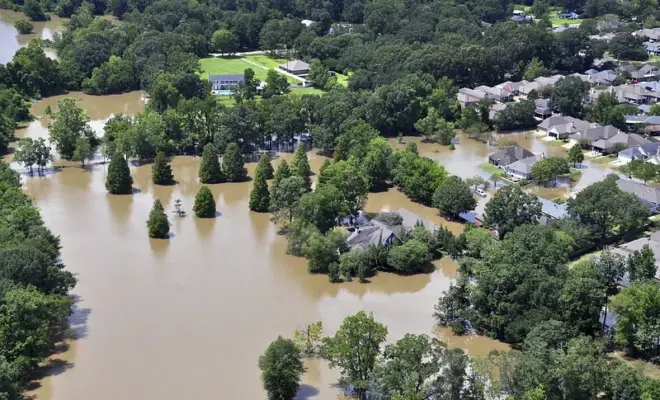
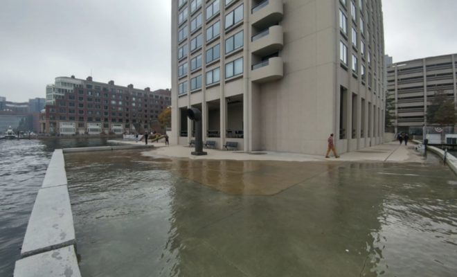
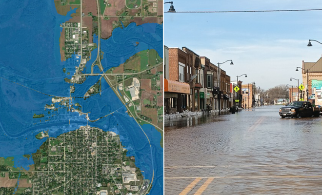
10/7/2026 - By fisheries.noaa.gov, fisheries.noaa.gov. NOAA’s National Weather Service announced today that Flood Inundation Mapping (FIM), a revolutionary tool for predicting river flooding, is now available on an experimental basis to nearly 100% of the U.S. population. This is a massive expansion from FIM’s prior coverage of 60% of the country. FIM… SEE MORE