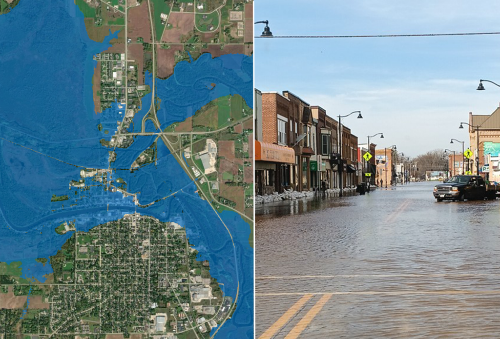
NOAA’s National Weather Service announced today that Flood Inundation Mapping (FIM), a revolutionary tool for predicting river flooding, is now available on an experimental basis to nearly 100% of the U.S. population. This is a massive expansion from FIM’s prior coverage of 60% of the country.
FIM produces estimates of land area covered in water based on model forecast river flows and current conditions that predict where flooding impacts may occur in the following days. It’s a tool for forecasters, emergency managers and the public that alerts users to the latest river and stream flooding conditions.
“Inundation maps are a critical tool for assessing the impacts of flooding,” said NOAA Administrator Neil Jacobs, Ph.D. “NOAA prioritized expanding FIM to ensure that nearly every American can access detailed information beyond the expected river crest height. These maps further support NOAA’s mission to protect lives, safeguard property, and strengthen our national economy.”
FIM puts river and stream flooding on the map at a neighborhood scale. It depicts flooding potential along 3.3 million river miles throughout the continental U.S., U.S. territories and Hawaii. For the most recent expansion, FIM’s new coverage areas include: the southeastern U.S. coast and Florida; Great Lakes region; New England; the Rocky Mountains; the Dakotas; and western Nebraska.
Making a difference from day one
FIM has already helped the NWS understand, assess and communicate maximum river flood potential to emergency management personnel, medical care facilities, and other critical decision makers. Success stories from local NWS offices include:
- NWS’s office in Nashville, TN used FIM to provide a Senior Assisted Living facility in Macon County information to safely evacuate residents in the spring of 2025, hours before floodwaters reached their doors.
- In April 2025, NWS office in Little Rock, Arkansas shared FIM with the city of Hardy, who went door to door to evacuate residents. The city reported a nearly 100% success rate in evacuations, saving lives.
Read the full article here: NOAA’s flood mapping tool now covers nearly 100% of U.S.