Another Ocean Drone Joins NOAA’s Growing Fleet
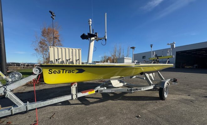
4/28/2026 - By noaa.gov, noaa.gov. The SeaTrac has the potential to become a do-it-all research platform It’s bright yellow, solar-powered and self-propelled. It can stay at sea for months, collecting data with a wide variety of off-the-shelf and NOAA-designed instruments. It’s emerging as the next important member of NOAA’s growing Uncrewed Surface… SEE MORE