Michael Peñuelas, a Seattle scuba diver, examines a large sunflower sea star in the Edmonds Marine Park in Puget Sound, Washington, in 2021. (Image credit: Courtesy of Zachary Gold)

New eDNA Tool To Help Track Recovery Of Sunflower Sea Star, a Pacific Coast ‘Apex Predator’

6/30/2026 - By noaa.gov, noaa.gov. A wasting disease that surged during the intense 2013-2016 Pacific marine heatwave known as the Blob decimated numerous species of sea stars and triggered the collapse of vast coastal kelp forests from the Aleutians to the Baja Peninsula. One of the species most affected was the sunflower sea star, an… SEE MORE
A person tends to oyster beds at an oyster farm in Wellfleet, Massachusetts. (Image credit: NOAA Fisheries)

NOAA Strengthens Commitment to Aquaculture Through New Cooperative Institute

6/28/2026 - By noaa.gov, noaa.gov. Today, NOAA announced the University of New Hampshire as host institution for the new NOAA Cooperative Institute Fostering Aquaculture Research and Markets (CIFARM) to expand NOAA’s impact and strengthen efforts to boost American seafood competitiveness. After a highly competitive application process, this new five-year cooperative institute will harness partnerships… SEE MORE
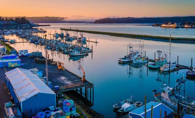
Vessels from the West Coast squid fleet followed market squid north into Oregon as ocean waters warmed, leading Oregon to adopt its first regulations for squid fishing in the state. Photo courtesy of California Department of Fish and Wildlife.

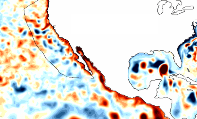
7 Ways El Niño and Large Marine Heatwave Could Affect West Coast Marine Species

6/23/2026 - By fisheries.noaa.gov, fisheries.noaa.gov. A large marine heatwave has bathed parts of the West Coast in very warm ocean waters over the past year, breaking temperature records in the Pacific. NOAA has also announced that El Niño has developed in the tropical Pacific and is predicted to intensify to a moderate or strong level this… SEE MORE
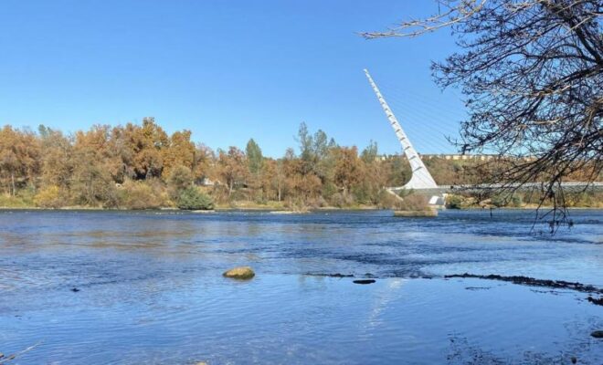
Neskowin Creek, a salmon stream in Tillamook County, Oregon, flows out to the Pacific Ocean. Credit: Adobe Stock

Reconnecting Rivers Boosts Oregon Coast Coho Recovery

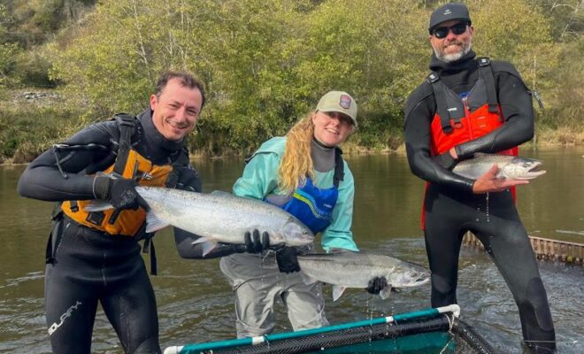
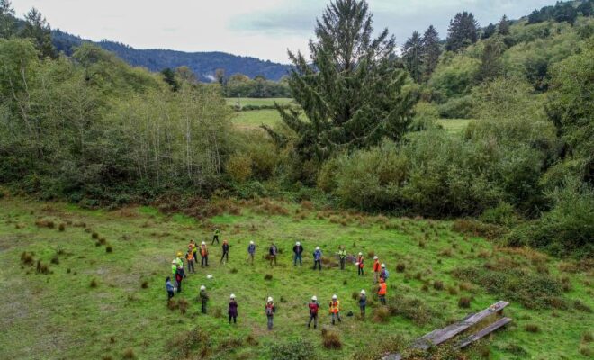
6/10/2026 - By fisheries.noaa.gov, fisheries.noaa.gov. NOAA Fisheries supports one of the most ambitious salmon restoration projects on Oregon’s coast: the Salmon SuperHwy. This partnership of more than a dozen organizations works across the Tillamook, Nestucca, and Sand Lake watersheds. It works to restore fish passage at dozens of stream barriers, such as failing… SEE MORE
This image is of a salt marsh in coastal Maine. The high-resolution, land cover mapping NOAA has done for the state captures the tidal creeks, pannes, pools and vegetation with far greater precision and detail than past, 30-meter mapping. (Image credit: NOAA)

The Coast Is Clear-er: NOAA Unveils New Land Cover Maps 900 Times Greater In Detail

6/7/2026 - By noaa.gov, noaa.gov. NOAA is releasing new, higher-resolution land cover maps for coastal Alabama, Mississippi, Northeastern Ohio, Rhode Island, and the Puget Sound in Washington. The data will be made available through the Digital Coast website and will provide these communities with better information for decisions related to stormwater management, water quality… SEE MORE