Tropical Storm Erin Becomes First Atlantic Hurricane of 2025, Prompting Regional Port Closures
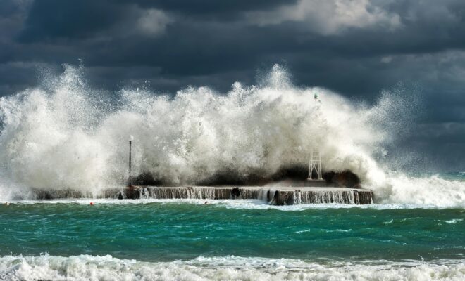
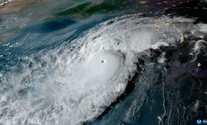
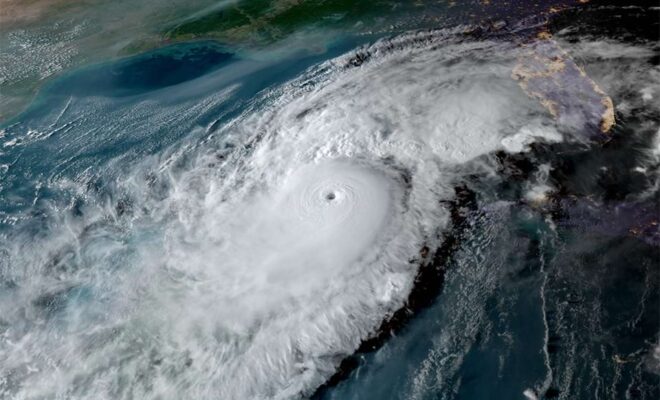
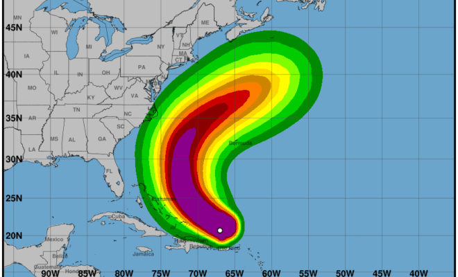
8/17/2025 - By UH Harbor. [caption id="attachment_51269" align="alignnone" width="2560"] Image Credits: Wikimedia Commons.[/caption] Key Takeaways from Hurricane Erin Advisory 24 (August 17, 2025) Immediate Threats (Today - Monday) Heavy Rainfall and Flooding Continued heavy rainfall across Virgin Islands and Puerto Rico today Risk of flash flooding, urban flooding, landslides, and mudslides Rainfall… SEE MORE