Low-oxygen conditions expected to impact 5,574-square-mile area
NOAA is forecasting this summer’s Gulf of America (formerly Gulf of Mexico) “dead zone” to be average-sized, covering approximately 5,574 square miles — an area roughly three times the size of Delaware. The dead zone, or hypoxic zone, is an area of low oxygen that can kill fish and other marine life. It occurs every summer and is primarily a result of excess nutrient pollution from human activities in cities and farm areas throughout the Mississippi-Atchafalaya watershed.
When excess nutrients reach the Gulf via the Mississippi-Atchafalaya River Basin, they stimulate an overgrowth of algae. When these algae die and decompose, they deplete oxygen in the water as they sink to the bottom. Large dead zones lead to extensive habitat loss for several ecologically and economically important species in the Gulf, proving detrimental to U.S. seafood and tourism industries.
The U.S. Geological Survey (USGS) provides Mississippi and Atchafalaya river discharge and nutrient loading data for the month of May, which are key factors used by NOAA forecast models to estimate the size of the Gulf’s dead zone during the summer. In May 2025, discharge in the Mississippi and Atchafalaya rivers was about 29% above the long-term average between 1980 and 2024, and the nitrate and phosphorus loads were about 24% below and 31% above the long-term averages, respectively.
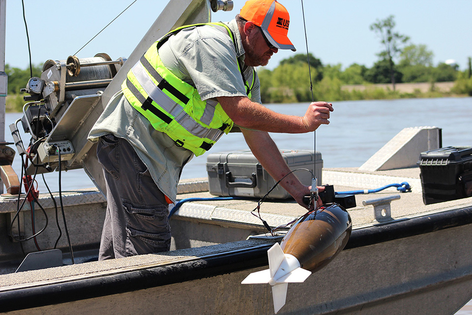
USGS measures river discharge and nutrient levels using approximately 3,007 real-time streamgages, 97 real-time nitrate sensors and 37 long-term monitoring sites in rivers throughout the Mississippi-Atchafalaya watershed. These data are used to track long-term changes in nutrient inputs to the Gulf and to build models of nutrient sources and hotspots within the watershed.
USGS measures river discharge and nutrient levels using approximately 3,007 real-time streamgages, 97 real-time nitrate sensors and 37 long-term monitoring sites in rivers throughout the Mississippi-Atchafalaya watershed.
read more at oceanservice.noaa.gov.