The Coast Is Clear-er: NOAA Unveils New Land Cover Maps 900 Times Greater In Detail
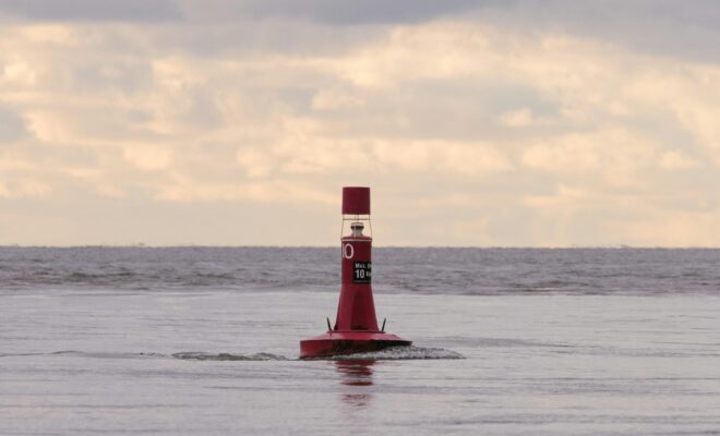
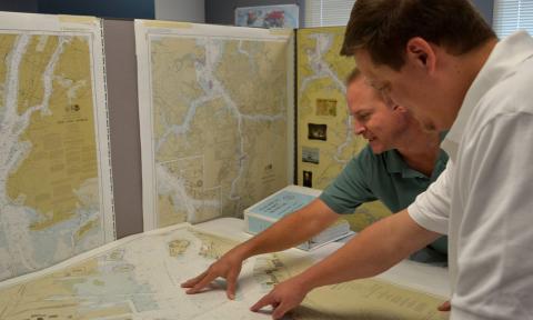
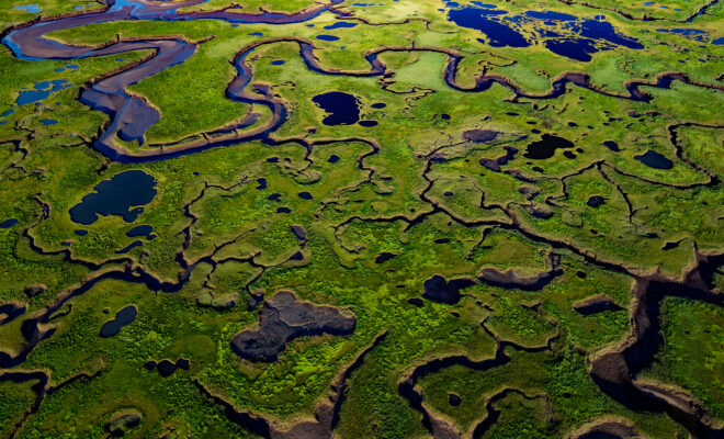
6/7/2026 - By noaa.gov, noaa.gov. NOAA is releasing new, higher-resolution land cover maps for coastal Alabama, Mississippi, Northeastern Ohio, Rhode Island, and the Puget Sound in Washington. The data will be made available through the Digital Coast website and will provide these communities with better information for decisions related to stormwater management, water quality… SEE MORE