Skip to content
US Harbors
  • Search
  • My Harbor
  • Join / Login
  • Home
  • Massachusetts
  • Boston Harbor & South Shore, MA
  • Boston Light, MA
Nearby Harbors
  • Hingham, MA
  • Boston, MA
  • Charlestown, Charles River, MA
42.3279’ N, 70.8913’ W

Boston Light, MA

63°
H 67°
L 57°
SSW
4mph
Low tide
8:29 am
  • Tides
  • Weather
  • Boating
  • Fishing
  • Guide
  • Map
  • Directory

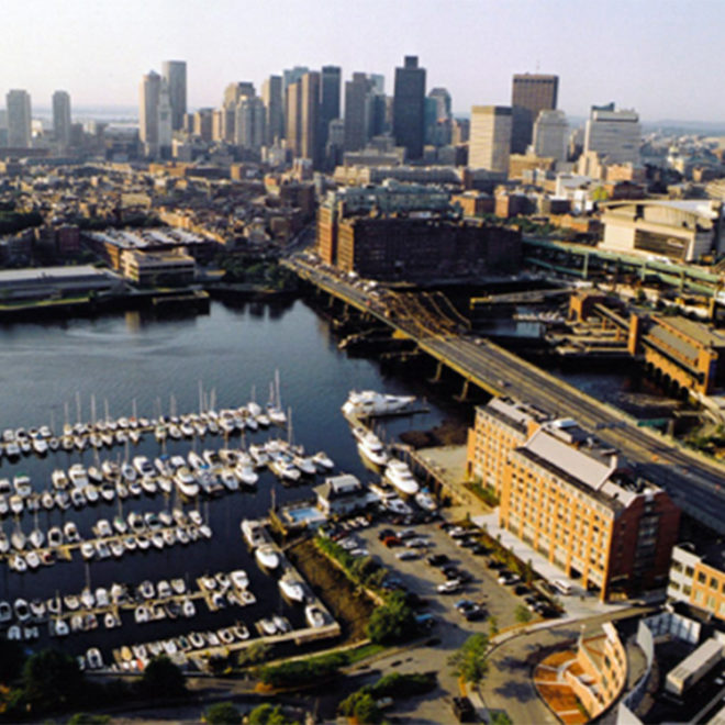
Exploring Maps and Charts of Boston Light, MA

Explore the RegionExplore the State

Local Goods & Services See All Nearby

Constitution Marina

Marinas

Sign Up for Our Newsletter! * indicates required

US Harbors

About US Harbors

Contact Us

Help FAQ


Terms & Conditions

Privacy Policy


Weather/Tides on Your Site

Tide & Weather FAQs

Advertise with Us

“Best Harbor” Contest

National Harbormaster Day

Reach over 12 million boaters and people who love the coast:
Contact our sales team for an advertising quote.

  • Facebook
  • YouTube
  • Instragram
US Harbors ® USHarbors.com
  • Take A Tour
  • Terms & Conditions
  • Privacy Policy
  • My Personal Information
Copyright © 2025 US Harbors