
https://www.westcoast.fisheries.noaa.gov

NOAA Releases 2022 Hydrographic Survey Season Plans

2/11/2022 - NOAA hydrographic survey ships and contractors are preparing for the 2022 hydrographic survey season in U.S. coastal waters and beyond. The ships collect bathymetric data (i.e. map the seafloor) to support nautical charting, modeling, and research, but also collect other environmental data to support a variety of ecosystem sciences. NOAA considers hydrographic survey requests… SEE MORE
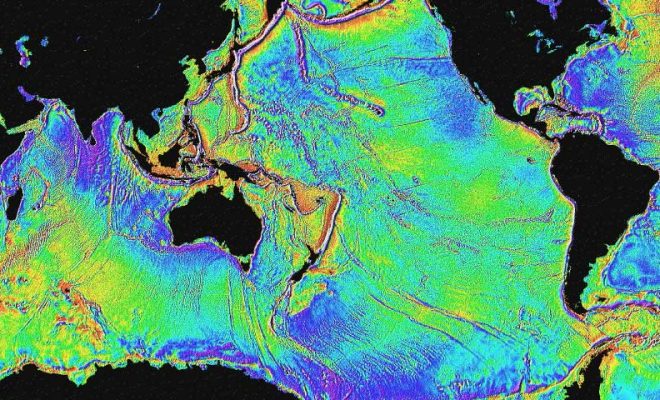
Satellite Mapping Image from NOAA's Ocean Service

What is Hydrography? And Why is it So Important?

6/7/2021 - By NOAA's Office of Coastal Survey. Hydrography is the science that measures and describes the physical features of the navigable portion of the Earth's surface and adjoining coastal areas. Hydrographic surveyors study these bodies of water to see what the "floor" looks like. Under the Department of Commerce, NOAA and… SEE MORE