What is Hydrography? And Why is it So Important?
Posted
Last Updated
By NOAA’s Office of Coastal Survey.
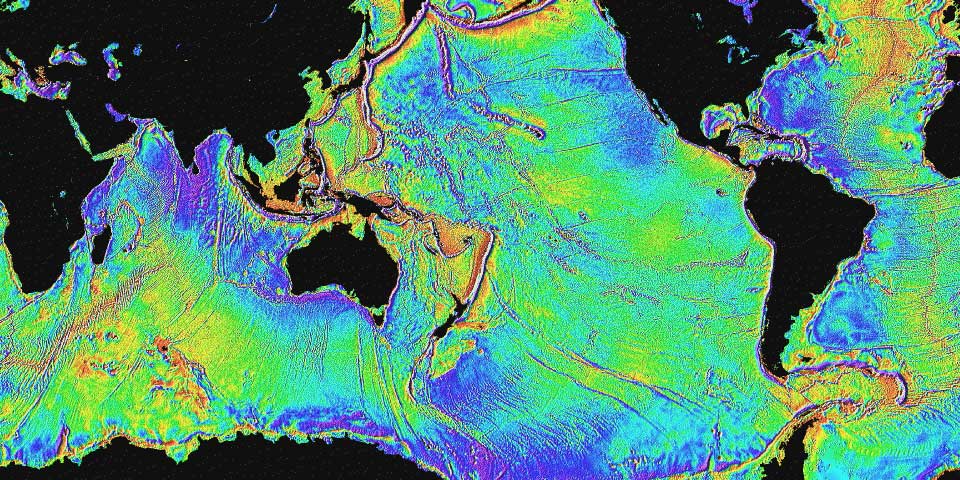
Hydrography is the science that measures and describes the physical features of the navigable portion of the Earth’s surface and adjoining coastal areas. Hydrographic surveyors study these bodies of water to see what the “floor” looks like. Under the Department of Commerce, NOAA and the Office of Coast Survey is concerned about the safe passage of ships traveling to and from our ports. Coast Survey conducts hydrographic surveys to measure the water depths to ensure the coastal regions of the United States are safe for boats and ships to navigate. We use the data to update nautical charts and develop hydrographic models; increasingly, the hydrographic data is used for multiple purposes, through the Integrated Ocean and Coast Mapping program.
Without hydrographers we wouldn’t have tide charts, or accurate nautical charts!
Surveyors pay particular attention to acquiring precise locations of shallow areas, obstructions, and aids to navigation that warn mariners. They also record tide or water level measurements to provide a vertical reference (mean lower low water) for water depths. Surveys also determine sea floor material (i.e. sand, mud, rock), which is important for anchoring, dredging, structure construction, pipeline and cable routing, and fish habitat.
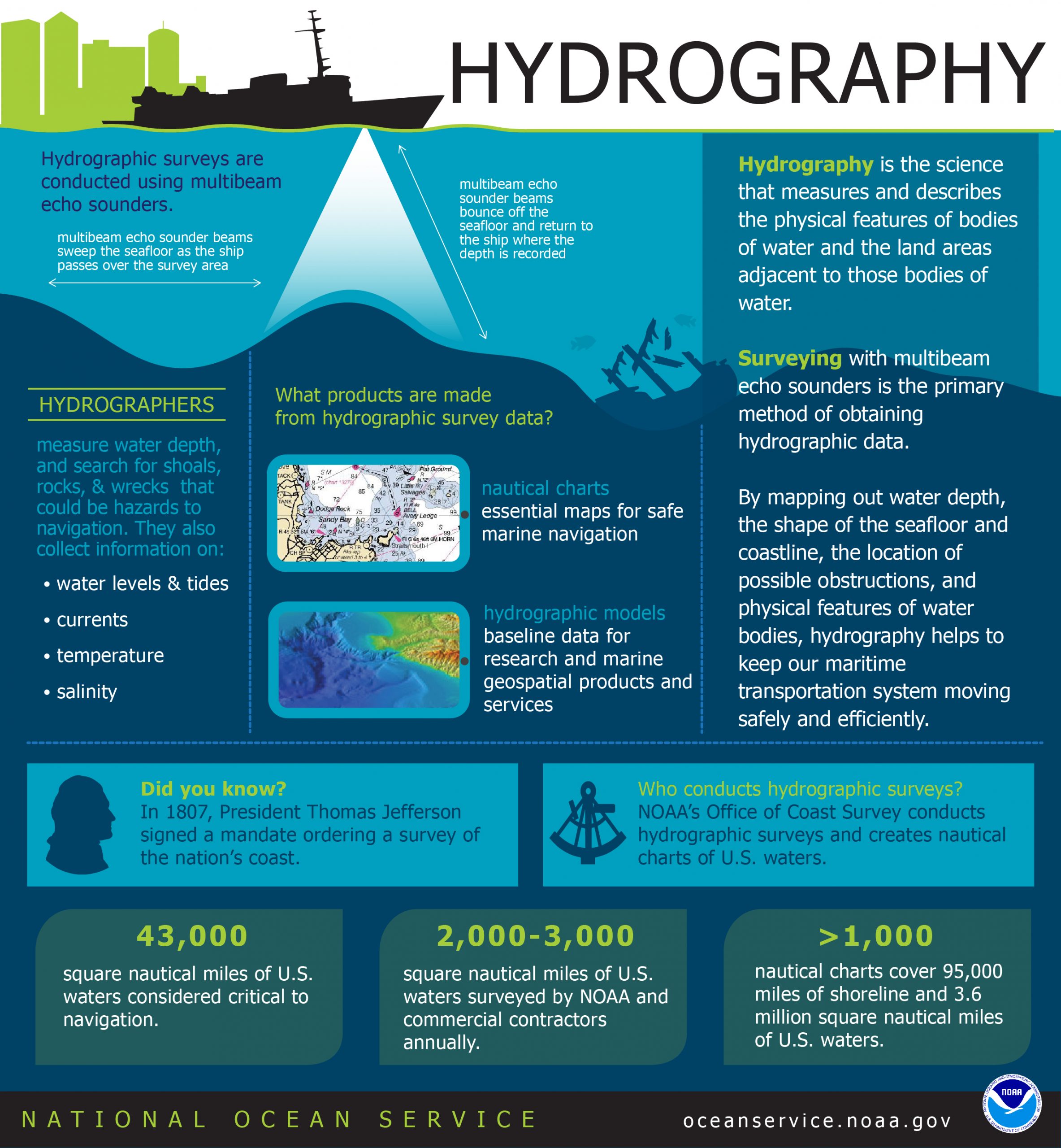
Hydrographic vessels are equipped with side scan and multibeam sonars which uses sound waves to find and identify objects in the water to determine seafloor depth. NOAA’s Remote Sensing Division and commercial hydrographic contractors use aircraft equipped with lidar to measure water depths in areas with complex and rugged shorelines. Lidar is also used on some NOAA vessels to collect shoreline features at a safe distance from shore. Coast Survey and its commercial contractors survey approximately 2,000 to 3,000 square nautical miles each year.
Learn about the history of hydrographical surveying.
Learn more about the National Office of Coastal Survey.