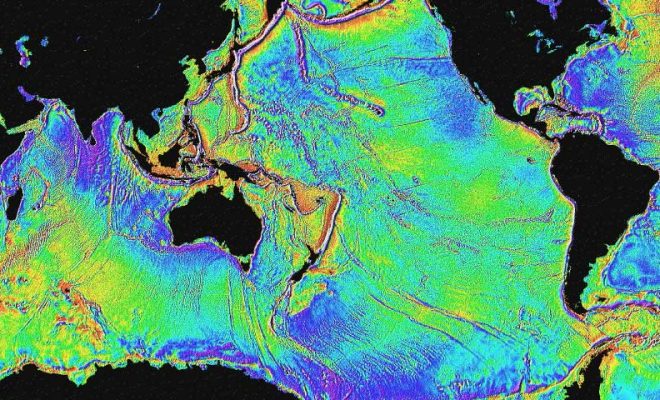
Image Credits: reasearch.noaa.gov.

NOAA and Partners Deploy Mini Ocean Robots to Collect Hurricane Data

9/4/2025 - By research.noaa.gov. The 4-foot-long robots aim to deliver low-cost data for research and forecasting. NOAA, in partnership with The University of Southern Mississippi and with the robotics company Oshen, launched five small uncrewed surface vehicles (USVs) called C-Stars in the waters off the U.S. Virgin Islands on August 31st to collect critical data… SEE MORE
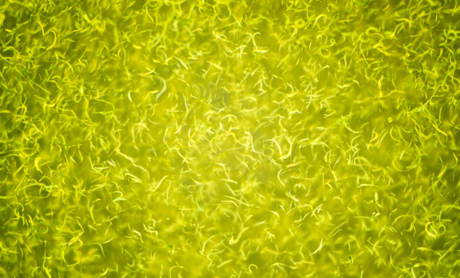
Satellite Mapping Image from NOAA's Ocean Service

What is Hydrography? And Why is it So Important?

6/7/2021 - By NOAA's Office of Coastal Survey. Hydrography is the science that measures and describes the physical features of the navigable portion of the Earth's surface and adjoining coastal areas. Hydrographic surveyors study these bodies of water to see what the "floor" looks like. Under the Department of Commerce, NOAA and… SEE MORE