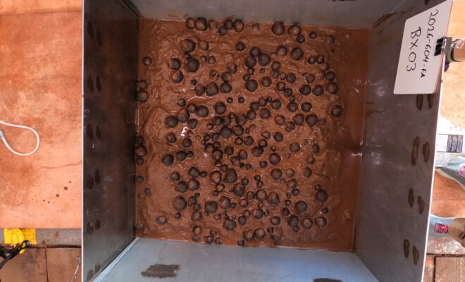
Image of geological samples from the seafloor that were collected via box core on April 14, 2026, in U.S. waters off American Samoa. (Image credit: USGS)

NOAA Releases First Images of Nodules from Waters Near American Samoa

4/24/2026 - By noaa.gov, noaa.gov. New images and samples were collected during 2026 efforts to map and characterize the seafloor in federal waters off American Samoa NOAA released today the first images of geologic seafloor samples from a hydrographic survey project to map and characterize more than 30,000 square nautical miles of federal waters in the… SEE MORE
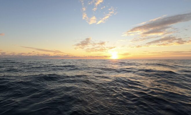
(Photo by Taylor Crockford, ©Woods Hole Oceanographic Institution)

WHOI Study Reveals the Hidden Molecules That Drive the Ocean’s Carbon Cycle

4/4/2026 - By whoi.edu, whoi.edu. The surface waters that boaters, anglers, and coastal communities depend on are teeming with invisible chemical exchanges that help regulate Earth's climate. A new study led by Woods Hole Oceanographic Institution and Columbia University has identified the specific molecules that marine phytoplankton release into seawater — compounds… SEE MORE
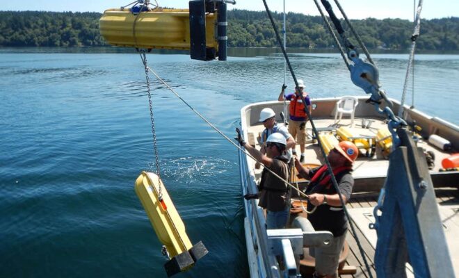
A NOAA team deploys a current meter with surface floats to take measurements throughout the water column during surveys of Puget Sound.

Current Surveys 101

3/24/2026 - By oceanservice.noaa.gov, oceanservice.noaa.gov. How studying ocean movement provides an important service for the economy. HOST: You're listening to the NOAA Ocean Podcast from NOAA's National Ocean Service.  I'm Megan Forbes. In this episode we're focusing on tides and currents…or more specifically current surveys.  NOAA conducts current surveys in areas across… SEE MORE
A container ship is docked at Massport's Conley Container Terminal on Boston Harbor

NOAA Installs New PORTS® in Boston Harbor

3/16/2026 - By noaa.gov, noaa.gov. New navigational system will improve safety in one of nation’s busiest ports NOAA announced today the successful installation of a Physical Oceanographic Real-Time System (PORTS®) in Boston Harbor. The system includes observational equipment at MassPort’s Conley Terminal and on the Tobin Memorial Bridge. The Boston Harbor PORTS, established in… SEE MORE
mage of a harmful algal bloom in Lake Erie as seen from the NOAA/NASA Suomi-NPP satellite on August 16, 2015. The Ocean Color Instrument on GeoXO will overcome the limitations of low-Earth orbiting satellites whose observations are often affected by cloud cover and sunglint. [Credit: NOAA]

GeoXO’s OCX Instrument Will Be Game Changer for Satellite Ocean Observations

7/26/2024 - By nesdis.noaa.gov. After nearly 50 years of GOES satellites providing critical Earth-observing data and imagery, NOAA is working on its next generation series of advanced geostationary satellites—the Geostationary Extended Observations mission, or GeoXO. GeoXO will host a payload of new instruments that will provide unprecedented information for addressing our changing planet… SEE MORE