By oceanservice.noaa.gov, oceanservice.noaa.gov.
How studying ocean movement provides an important service for the economy.
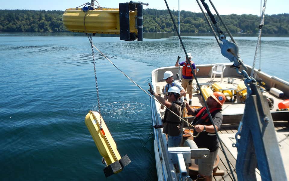
HOST: You’re listening to the NOAA Ocean Podcast from NOAA’s National Ocean Service. I’m Megan Forbes. In this episode we’re focusing on tides and currents…or more specifically current surveys. NOAA conducts current surveys in areas across the country to provide accurate tidal current predictions which many mariners depend on for safe navigation. Survey locations are selected based on user and navigation needs, oceanographic analysis and the time since the last survey.
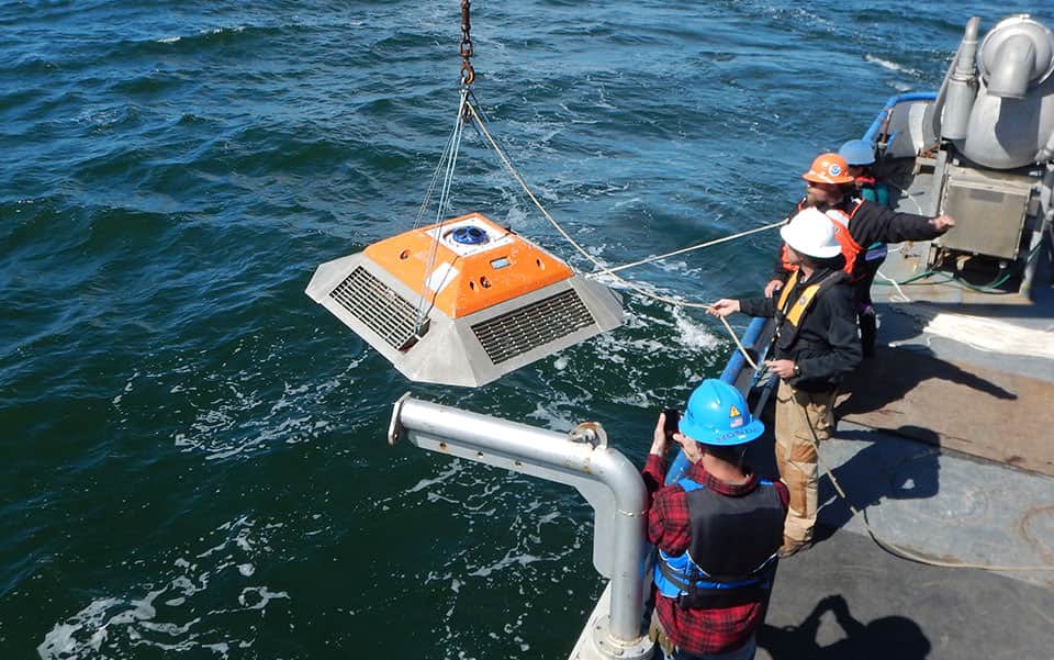
To further understand this process, I sat down with Chris Paternostro, an oceanographer with the Center for Operational Oceanographic Products and Services at NOAA. Chris is an expert in coastal and estuarine circulation analysis and is the acting program manager of maritime services. Before we began discussing NOAA’s role in current surveys, I wanted Chris to walk me through the differences between a tide, a current, and a tidal current. Here’s what he had to say about what his work focuses on:
CHRIS PATERNOSTRO: I study the motion of the ocean (laughs). So the tides are the vertical movement of the water along the coast. You can witness this on beaches and on piers that stick out into the ocean. The tide is the actual water level movement – up and down, two to four times a day, and the movement is caused by the gravitational attraction to the sun and the moon. We can measure the water level movement towards the sun and the moon and from that we can understand the different frequencies that cause that motion. These are known as the tides. To obtain tides, you have to have a horizontal movement of the water, which is the currents, to move the water to those points to experience the mass lift of the water in the vertical direction.
Listen to the podcast here: Current Surveys 101