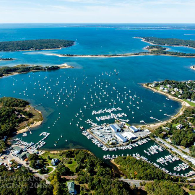
Exploring Maps and Charts of Osterville, MA Chart View Map View Satellite View Explore the RegionExplore the State Featured Local Businesses Falmouth, Massachusetts - Harbormaster Boston Yacht Sales at MacDougalls Cape Cod Marina Kingman Yacht Center