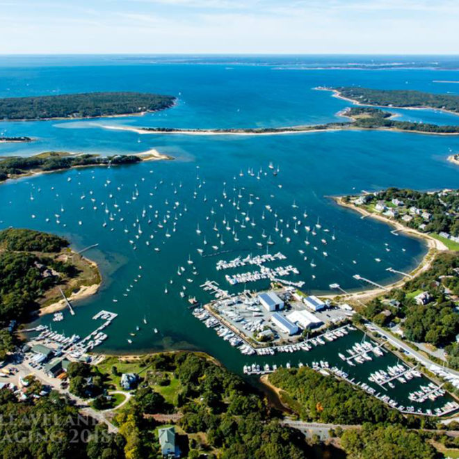
Exploring Maps and Charts of Piney Point, MA Chart View Map View Satellite View Explore the RegionExplore the State Featured Local Businesses Kingman Yacht Center