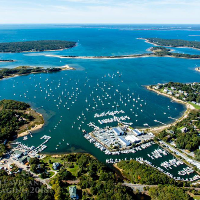
The Onset town wharf, on the north side of the turning basin, has depths of about 14 feet at its face. The harbormaster has an office at the wharf. The harbormaster monitors VHF-FM channel 16 and uses channel 9 as a working frequency; call sign KYQ-833. Several small-craft facilities are on the north side of the bay along the southwesterly side of Long Neck.
Onset Bay, between Sias Point on the north and Hog Neck on the south, is the approach to the village of Onset. A dredged marked channel leads westward from Cape Cod Canal along the southerly side of the bay to a turning basin off the village. Two anchorage areas, one on each side of the channel, are at the head of the channel. In 1995, the mid-channel controlling depth was 14 feet to the turning basin, thence depths of 13 to 15 feet were available in the basin; depths of 6 to 8 feet were available in the eastern anchorage basin with 7½ feet available in the western anchorage basin.
Wickets Island is a high and wooded islet in the middle of the bay. The buoys in the entrance channel are frequently towed under because of the strong currents. A rock, covered 8 feet, is near the channel entrance about 75 yards northeast of Hog Island Channel Light 21. In 1981, two rocks, covered 4 to 5 feet, were reported on the north edge of the channel between Buoys 2 and 4; caution is advised. A 5 mph speed limit is enforced above Wickets Island.
The East River empties into Onset Bay southeast of Onset. A draft of 3 feet can be taken to an anchorage just above the highway bridge which connects Onset and Long Neck. The bridge has a fixed span with a clearance of 11 feet.