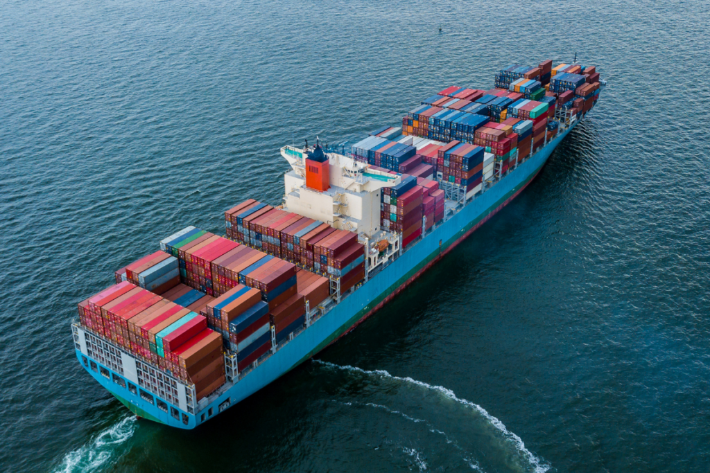
Ship Tracking Websites and Apps Help Avoid Major Collisions
Posted
Last Updated
By OceanGrafix.
Ships are tracked in real time by a special radar system called Automated Identification System (AIS). The system identifies the type of ship, its location and, if moving, its direction and speed. The data is posted on websites and mobile apps to allow mariners to track traffic to enhance safety as they chart their course. In addition, ports use tracking for safety and surveillance.
A brief history of AIS begins with the grounding of Exxon Valdez
In the United States, the history of AIS began on March 24, 1989, with the oil tanker Exxon Valdez running aground in Alaska’s Prince William Sound. As a result of the grounding, and oil spill, the United States Congress passed the Oil Pollution Act (OPA-90), part of which called for the Coast Guard to develop a vessel tracking system for tankers going into Alaska.
Subsequently, worldwide tracking laws were created by the International Maritime Organization (IMO) and International Telecommunications Union (ITU). By 2016, full AIS regulations went into effect worldwide, with AIS being required on all commercial vessels, including fishing vessels and passenger vessels 65 feet or longer. Vessels must continuously broadcast their identity and position over public airwaves using unencrypted VHS radio signals.
Tracking of vessels is easy and fast using your mobile phone
The AIS data is free and unrestricted, so companies have created websites and phone apps that communicate worldwide ship information in real time. An example is Shiptracker.live, one of several top-rated ship tracking websites. The site allows the user to monitor marine traffic in real time or find a specific vessel.
The image below, taken from the website, shows marine traffic on the U.S. Atlantic Seaboard and Gulf of Mexico:

READ MORE at https://oceangrafixblog.wordpress.com/2022/11/17/ship-tracking-websites-and-apps-help-avoid-major-collisions/