In some ways, it was the Florida Man of storms – not quite knowing when to say when.
Usually, thunderstorms fizzle out after they run out of rain or get cold air sucked in. They run out of gas. But not Wednesday, when the storm that hit Fort Lauderdale had a gas station nearby — the warm and moisture-rich Gulf Stream.
The end result was more than 25 inches of rain drenching and flooding Fort Lauderdale in six to eight hours. That ranked among the top three in major U.S. cities over a 24-hour period, behind Hilo, Hawaii’s, 27 inches in 2000 and Port Arthur, Texas’s 26.5 inches in 2017, according to weather historian Chris Burt.
While it could happen in other places in coastal America, Florida has the right topography, plenty of warm water nearby and other favorable conditions, said Greg Carbin, forecast branch chief at the National Oceanic and Atmospheric Administration’s Weather Prediction Center.
Just two days before the downpour, Weather Prediction Center forecaster David Roth told colleagues that conditions were lining up similar to April 25, 1979, when 16 inches of rain fell on Fort Lauderdale, Carbin said.
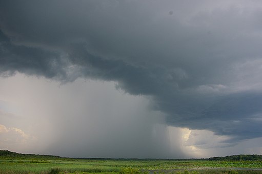
What parked over Fort Lauderdale on Wednesday was a supercell — the type of strong thunderstorm that can spawn killer tornadoes and hail and plows across the Great Plains and Mid-South in a fierce, fast-moving but short path of destruction, several meteorologists said.
Normally a cell like that would “snuff itself out” in maybe 20 minutes or at least keep moving, Carbin said. But in Fort Lauderdale the supercell was in a lull between opposing weather systems, Carbin said. It lasted six to eight hours.