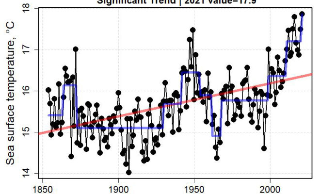
NOAA's Report on the long-term (1852 to 2021) mean sea surface temperature in the Northeast for the last six months of each year. The red lines show the linear trend, the titles indicate the trend’s significance, and the blue lines represent change points.

NOAA Fisheries Updates Report on Current Conditions of the Northeast U.S. Shelf Ecosystem

11/14/2022 - By NOAA Fisheries NOTE: This is a biannual report published by NOAA Fisheries. It was last updated this report on 10/27/22 and reflects document sea surface temperature trends, chlorophyll concentrations, fish distributions, etc. conditions in 2021 and early 2022.  Introduction Current Conditions is a biannual report on ecosystem and fisheries data… SEE MORE
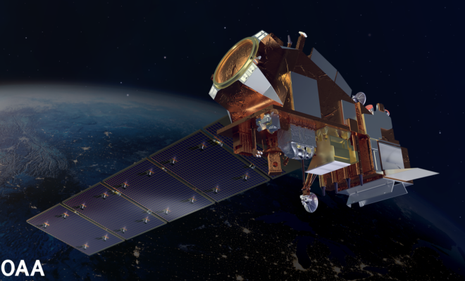
NOAA satellite, Artist Rendering.

NOAA’s New Satellite to Help Improve Extreme Weather Predictions

11/10/2022 - By NOAA NOAA’s Joint Polar Satellite System-2 (JPSS-2), the third in a series of five advanced polar-orbiting satellites, blasted off from Vandenberg Space Force Base, California, at  1:49 a.m. PST today. The satellite will join its predecessors, Suomi NPP and NOAA-20, as they circle the globe 14 times a day,… SEE MORE
Car stranded by flood. Image royalty free from Canva.com

How to Help Coastal Communities Recover from September 2022 Storms

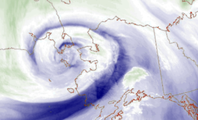
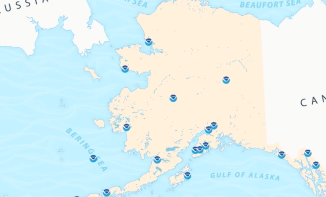
10/4/2022 - By US Harbors The level of destruction, and extreme need, that has been caused by the recent storms and hurricanes in Alaska, Puerto Rico, and Southwestern Florida has left many of us asking "what can I do?". We've put together this page to help answer that question. If you have… SEE MORE