NOAA’s New Satellite to Help Improve Extreme Weather Predictions
Posted
Last Updated
By NOAA
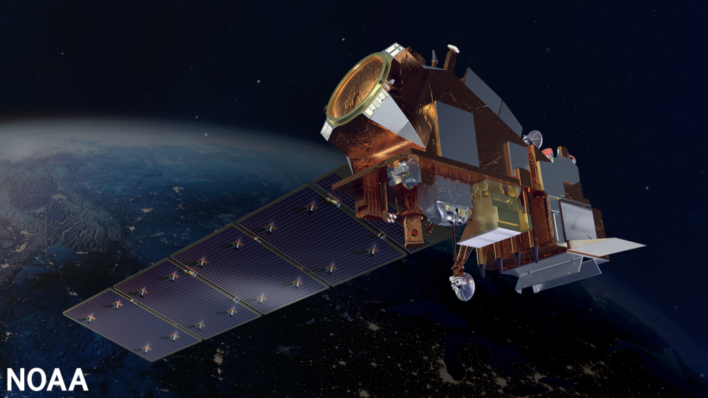
NOAA’s Joint Polar Satellite System-2 (JPSS-2), the third in a series of five advanced polar-orbiting satellites, blasted off from Vandenberg Space Force Base, California, at 1:49 a.m. PST today.
The satellite will join its predecessors, Suomi NPP and NOAA-20, as they circle the globe 14 times a day, and provide a continuous stream of data used for weather forecasting, including extreme — potentially deadly — events, and will help track and monitor climate change.
“The need for advanced satellites, such as JPSS-2, to accurately predict weather and climate has never been greater,” said Michael C. Morgan, Ph.D., assistant secretary of commerce for environmental observation and prediction. “With the steady rise in the number of billion dollar disasters, NOAA remains committed to putting the best technology in space that leads to more reliable, timely forecasts.”
")
JPSS-2 will be renamed NOAA-21 when it reaches its final “afternoon” orbit, approximately one week after launch. In that orbit, the satellite will collect local observations of the mid-latitudes and tropics during the afternoon and overnight. About one month after launch, the satellite’s instruments will start collecting data. After rigorous tests to ensure the instruments are performing as intended, the data will then be released to the public and used in NOAA’s operational forecasts and warnings. JPSS-2 is designed to operate for seven years, with the potential to operate for several more.
“NOAA is operating the most advanced fleet of weather satellites in the world,” said Steve Volz, Ph.D, director of NOAA’s Satellite and Information Service. “In conjunction with our international partner, EUMETSAT, which provides similar observations from the morning orbit, our polar satellites provide essential data for numerical weather models, producing forecasts daily.”
Together, NOAA’s newest polar-orbiting and geostationary satellites provide high quality data and imagery to help emergency managers better prepare for and respond to dangerous storms.
“Data from satellites like JPSS-2 are the foundation for our weather forecasts,” said Ken Graham, director of NOAA’s National Weather Service. “The constellation of weather satellites provides essential support to National Weather Service forecasters, which in turn, allows the public to be better prepared and for emergency managers to preposition response assets to save lives.”
READ MORE at: https://www.noaa.gov/news-release/noaas-newest-satellite-heads-toward-orbit