Boating, Fishing, and Travel Information for Bon Secour, Bon Secour River, AL
High Tide Flooding Outlook for April 2024
By US Harbors. Coastal Flooding Predictions for April 2024 April's highest tides will happen at the end of the 2nd week of the month, starting as early as April 7 in some places, and heading back to normal after the 11th or 12th. There are some location-specific outliers we're highlighting… Learn More
Fishing in Bon Secour, Bon Secour River, AL Map View
Coastal News Updates See All
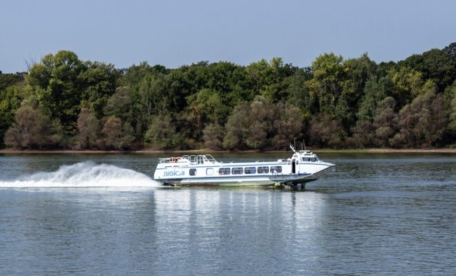
Using Hydrofoils to Improve Boat Performance
By Capt. Vincent Daniello. In my early days as a captain, few boats cruised faster than 30 mph. Back then, bigger engines and the fuel they burned added too much weight, netting little more speed. Today, even modest performers top 50 mph thanks to lighter engines and boat construction, where more… SEE MORE
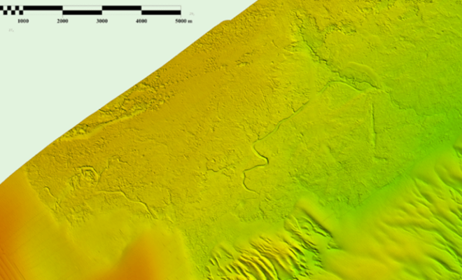
Possible Ancient River System Discovered off Wilmington, North Carolina
By noaacoastsurvey. During the 2023 field season, NOAA Ship Ferdinand R. Hassler was tasked with surveying an area offshore of Wilmington, North Carolina, in the vicinity of Frying Pan Shoals—a dynamic area of dangerously shallow waters. While scientists and crew conducted mapping surveys of the seafloor, they discovered what is believed to… SEE MORE
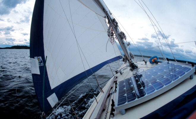
Going Electric
By John Wooldridge. When Dave and Danielle Baker and their two young children pull up to a marina and begin maneuvering into a slip, they often get wondering stares from people on the dock. Instead of emitting diesel exhaust and noise, their Island Packet 27 sloop Gilbert Ivy purrs quietly and handles… SEE MORE


