Welcome to Cape Charles Harbor, VA
Boating Resources for Cape Charles Harbor, VA
Important Contacts
Harbormaster in Cape Charles Harbor, VA
Charts, Navigation, & Guides
Online Nautical Chart for Cape Charles Harbor, VA
Pilot Guide Info for Cape Charles Harbor, VA
Important Locations & Services
Weather Conditions & Forecasts
Check Tides in Cape Charles Harbor, VA
Print a Tide Chart for Cape Charles Harbor, VA
Other Resources
FEATURED CONTENT

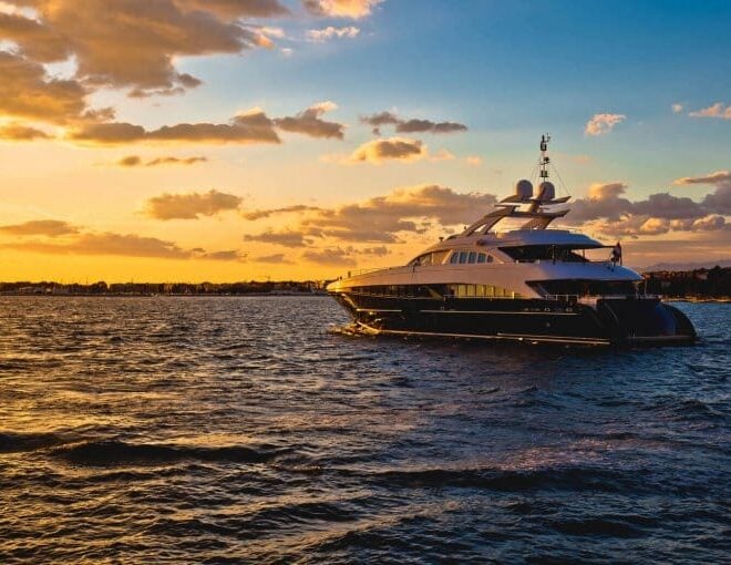
In The Zone: The Sabre 51 Salon Express
By US Harbors When Sabre Yachts completed construction of hull number 200 of its 48 Salon Express model, more than half the crew who built it had also worked on hull number one. The average tenure on that line was 12 years, and they produced a yacht that proved to… Learn More
Coastal News Updates See All
Lithium Boat Batteries: What Boaters Need to Know About Making the Switch
By Ken Kreisler, best4boats.com. Lithium iron phosphate (LiFePO₄) batteries are rapidly replacing traditional lead-acid and AGM setups aboard boats of all sizes — from trailerable outboards to long-range cruising yachts. The advantages in weight, capacity, lifespan, and charging speed are significant, but so are the installation requirements and upfront costs.… SEE MORE
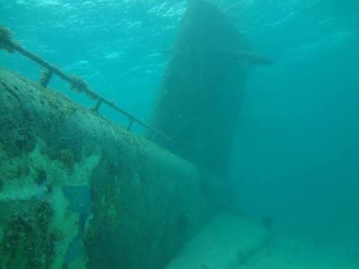
Into the Deep: Alvin Dives to Shackleton's and Scott's Lost Ships in the North Atlantic
By Ken Kostel, whoi.edu. Four decades after its legendary surveys of the Titanic, the submersible Alvin is heading back to the North Atlantic — this time to document two shipwrecks tied to the greatest names in polar exploration. WHOI’s R/V Atlantis departed Woods Hole on July 2 carrying scientists, engineers,… SEE MORE
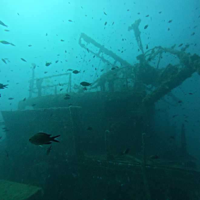
Eyes On The Deep: How Ocean Imaging Is Transforming Underwater Discovery
By Elise Hugus, whoi.edu. From ancient shipwrecks in the Black Sea to a lost WWI submarine off San Diego, the ability to see — and share — what lies on the ocean floor has never been more powerful. A new feature from WHOI’s Oceanus magazine profiles Dwight Coleman, the institution’s… SEE MORE