Researchers Complete First-ever Detailed Map of Global Coral
Posted
Last Updated
By Caleb Jones.
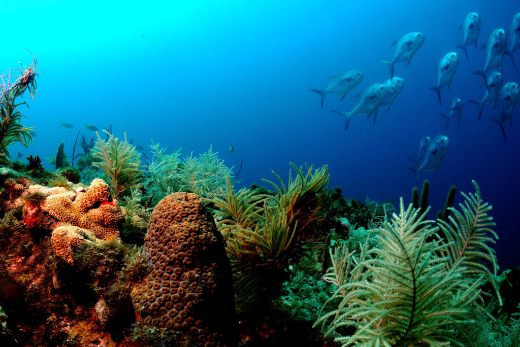
HONOLULU (AP) — Researchers have completed a comprehensive online map of the world’s coral reefs by using more than 2 million satellite images from across the globe.
The Allen Coral Atlas, named after late Microsoft co-founder Paul Allen, will act as a reference for reef conservation, marine planning and coral science as researchers try to save these fragile ecosystems that are being lost to climate change.
The group announced completion of the atlas Wednesday and said it is the first global, high-resolution map of its kind. It gives users the ability to see detailed information about local reefs, including different types of submarine structure like sand, rocks, seagrass and, of course, coral.
The maps, which include areas up to 50 feet (15 meters) deep, are being used to inform policy decisions about marine protected areas, spatial planning for infrastructure such as docks and seawalls and upcoming coral restoration projects.
“Our biggest contribution in this achievement is that we have a uniform mapping of the entire coral reef biome,” said Greg Asner, managing director of the Atlas and director of Arizona State University’s Center for Global Discovery and Conservation.
READ MORE at apnews.com