NOAA Latest Forecast for “Dead Zone” in the Gulf
Posted
Last Updated
By NOAA
NOAA is forecasting a summer “dead zone” in the Gulf of Mexico that will be approximately 5,364 square miles, making it about average for the 35-year history of the summertime dead zone measurements in the region. The forecast is lower than last year’s measured size and slightly lower than the five-year average measured size of 5,380 square miles.
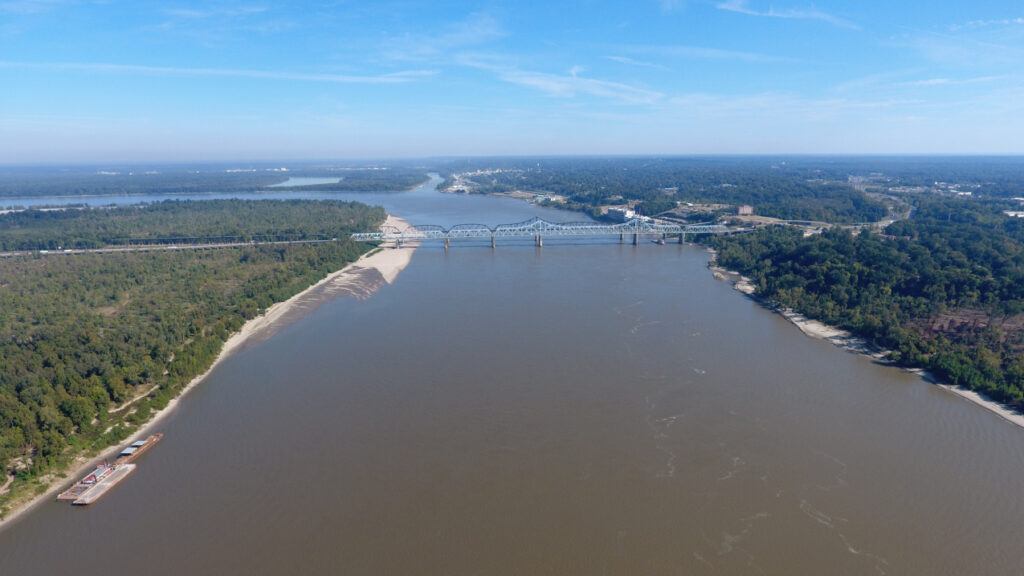
The dead zone, or hypoxic area, is an area of low oxygen that can kill fish and other marine life. It occurs every summer and is primarily a result of excess nutrient pollution from human activities in cities and farm areas throughout the Mississippi River watershed.
When the excess nutrients reach the Gulf, they stimulate an overgrowth of algae, which eventually die and decompose, depleting oxygen as they sink to the bottom. The resulting low oxygen levels near the bottom of the Gulf cannot support most marine life. Fish, shrimp and crabs often swim out of the area, but animals that are unable to swim or move away can be stressed or killed.
“The Gulf dead zone remains the largest hypoxic zone in United States waters, and we want to gain insights into its causes and impacts,” said Nicole LeBoeuf, Assistant Administrator of NOAA’s National Ocean Service. “The modeling we do here is an important part of NOAA’s goal to protect, restore and manage the use of coastal and ocean resources through ecosystem-based management.”
This is the fifth year NOAA has produced a dead zone forecast using a suite of models jointly developed by the agency and its partners — teams of researchers at the University of Michiganoffsite link, Louisiana State Universityoffsite link, William & Mary’s Virginia Institute of Marine Scienceoffsite link, North Carolina State Universityoffsite link, Dalhousie Universityoffsite link and the U.S. Geological Survey (USGS), who provided the Mississippi River nutrient loading data for the models. NOAA integrates the results of these multiple models into an aggregate forecast and releases the forecast in coordination with these external groups, some of whom are also developing independent forecasts.
The USGS measures nutrient levels using more than 3,500 real-time streamgages, 68 real-time nitrate sensors, and 38 long-term monitoring sites in rivers throughout the Mississippi-Atchafalaya watershed. These data are used to track long-term changes in nutrient inputs to the Gulf and to build models of nutrient sources and hotspots within the watershed.
“Long-term USGS monitoring shows that nitrogen loading to the Gulf decreased then stabilized since 1985, while phosphorus loading increased during part of that same period,” said Don Cline, Associate Director of the USGS Water Resources Mission Area. “A new USGS studyoffsite link indicates these trends are partly explained by nutrient inputs like fertilizer, but notes other factors such as agricultural management practices and nutrients accumulated in the past were also likely important, particularly for phosphorus.”
The Interagency Mississippi River and Gulf of Mexico Hypoxia Task Force has set a long-term goal of reducing the dead zone to 1,900 square miles. NOAA’s hypoxia forecast models and USGS monitoring of nutrients in rivers help to predict how hypoxia in the Gulf of Mexico is linked to nutrients coming from throughout the Mississippi River Basin. The Task Force uses the information the two agencies produce to inform nutrient reduction targets across the Mississippi watershed states.
Read More at NOAA.gov