Bomb Cyclone Slams Pacific Northwest with Heavy Rain, Raising Threat of Debris Flows
Posted
Last Updated
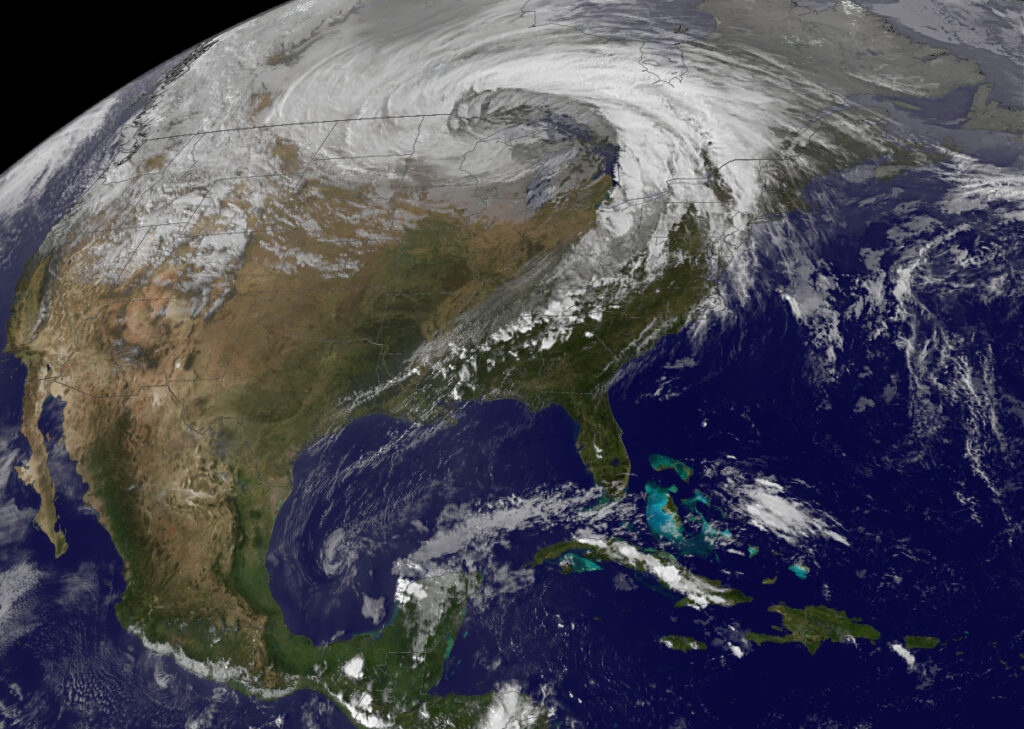
A rapidly intensifying storm, called a bomb cyclone, could dump 3-5 inches of rain across coastal Oregon, Washington and Northern California. Locally, up to 8 inches could fall in the higher elevation. The storm is fueled by an atmospheric river.
PORTLAND, Ore. – The West Coast is seeing the season’s first atmospheric river. The river of moisture in the sky is slamming Oregon, Washington and Northern California with rain and strong wind.
This latest storm system has met the criteria for a “bomb cyclone.” That means the area of low pressure underwent “bombogenesis,” which occurs when a storm system’s central pressure drops at least 24 millibars within 24 hours. In this case, the pressure fell from 996 millibars Saturday evening to 960 millibars Sunday evening – a drop of 36 millibars.
WHEN STORMS ‘BOMB OUT’: EXPLAINING HOW A BOMB CYCLONE FORMS
The FOX Forecast Center is watching carefully to see if this storm will be the first of many, similar to the battening the West took last winter from the parade of atmospheric river-fueled storms. Researchers caution that the devastating 2022-23 winter was during La Niña. This 2023-24 winter is in El Niño, making the atmospheric river connection more likely.
“During El Niño, when the eastern Pacific Ocean is warmer than normal, atmospheric rivers are more likely to impact the western U.S.,” wrote NOAA’s Climate Prediction Office in a study. “Conversely, during La Niña, when the eastern Pacific is cooler than normal, atmospheric rivers are less likely to impact the western U.S.”

