By nytimes.com.
Throughout history, most sea captains have tried to steer their vessels out of extreme weather, but the whole purpose of SD 1045 was to steer into it. “The goal was not just to get into the hurricane but to get to the strongest quarter,” Jenkins said as we watched a video of the storm, shot from SD 1045’s masthead camera. “The big engineering challenge was to create enough sailing power to get in front of the storm, but not so much power that the storm destroys the boat.”
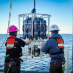
Jenkins and a crew of pilots in Saildrone’s cavernous mission-control room, set in a 1930s Navy hangar on the shores of San Francisco Bay, had been using a satellite link for months to maneuver SD 1045 and four sister ships into North Atlantic hurricanes. The boats were frequently caught in doldrums and set back by powerful ocean currents skirting the East Coast of the United States. That August, a sister ship, SD 1031, successfully entered Tropical Storm Henri, but only in its early stages. With a few weeks left in the 2021 hurricane season, SD 1045 appeared to be the last opportunity to get a Saildrone inside a major hurricane, where it would try to harvest data that could help scientists develop a more sophisticated understanding of why such storms’ intensity has spiked over the last half-century.
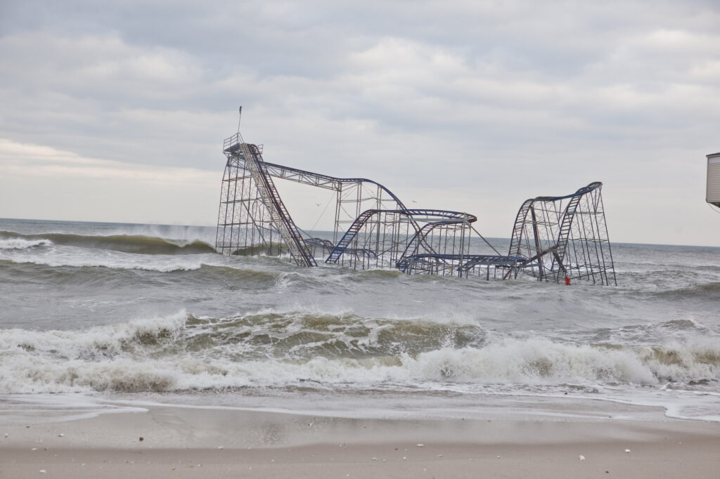
As climate change has accelerated, warmer atmospheric and ocean temperatures have increased the likelihood of a hurricane developing into a Category 3 storm or higher by 8 percent per decade. While the total number of tropical cyclones — including “typhoons” and “cyclones” — around the world has dropped over the last century, in the North Atlantic more Category 4 and 5 hurricanes made landfall in the United States from 2017 to 2021 than from 1963 to 2016.
Continue reading at nytimes.com.