The Arctic is Warming Rapidly. These Clouds may Hold Clues as to Why
Posted
Last Updated
Eight flights into the odd clouds this year have provided needed intel on their inner workings.
In the Arctic, a mysterious atmospheric phenomenon generates some of the oddest clouds on Earth.
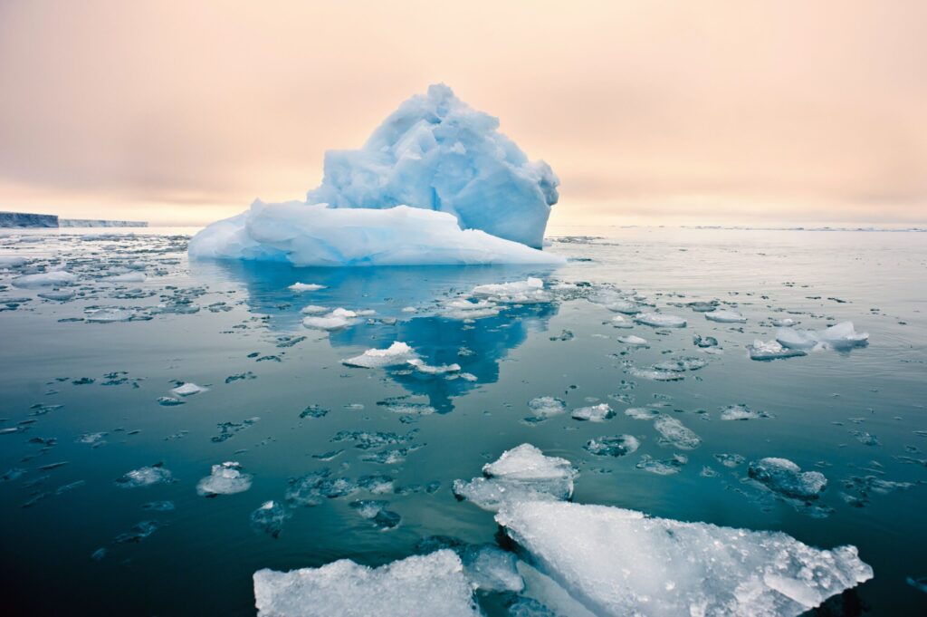
Up there, streaky wisps can swiftly transform into towering thunderstorms. These strange clouds are not just visually mesmerizing. Nor are they just drivers of powerful storms. They may also play a role in the Arctic’s breakneck pace of warming, researchers say, a pace about four times as fast as that of the rest of the planet (SN: 8/11/22).
But climate simulations of the region can’t accurately incorporate the birth and evolution of these clouds: There’s simply too little known about the forces that shape them.
An international team of scientists is now confronting that uncertainty head-on. From late February to early April, the researchers repeatedly soared into the Arctic’s stormy skies, employing a heavily instrumented C-130 aircraft to study the clouds’ shape-shifting and collect a wealth of data.
Its findings, the team hopes, will be the first step to piercing a longstanding, cloudy mystery.
Swells of cold Arctic air give birth to these clouds
The Arctic clouds are the result of one of the most intense collisions of air masses on the planet.
Marine cold-air outbreaks, or MCAOs, are surges of cold, dry air that regularly whoosh seaward from the land to encounter warmer air over the oceans. In response, the ocean waters release huge amounts of heat and moisture that rise into the atmosphere and condense into clouds.
The MCAO-powered clouds have a distinct pattern. “It’s beautiful to look at in satellite imagery,” says Paquita Zuidema, an atmospheric scientist at the University of Miami’s Rosenstiel School of Marine, Atmospheric and Earth Science in Key Biscayne, Fla. These clouds are “so visually stunning,” says Zuidema, who co-led the expedition.