Just off the shores of Sheboygan, Wisconsin, the Shipwreck Sentinel quietly bobs in the waves—one of many data buoys deployed across the Great Lakes. Sitting within the waters of Wisconsin Shipwreck Coast National Marine Sanctuary, this data buoy provides valuable information used by fishers, boaters, and surfers alike. Since its designation in 2021, the data collected by the buoys in Wisconsin Shipwreck Coast National Marine Sanctuary have been viewed over 270,000 times online—providing a vital service to the surrounding community.
From Deadly Waters to Real-Time Warnings
Lake Michigan has a reputation for being one of the most perilous of the Great Lakes, with numerous ships having foundered here over the centuries, and a significant number of drownings reported annually. According to the Great Lakes Surf Rescue Project, between 2010 and 2024, there have been over 1,300 drownings across the Great Lakes. Lake Michigan consistently accounts for a substantial portion of these incidents. To address this issue, buoys are being deployed with cutting edge technology capable of transmitting data in real-time.
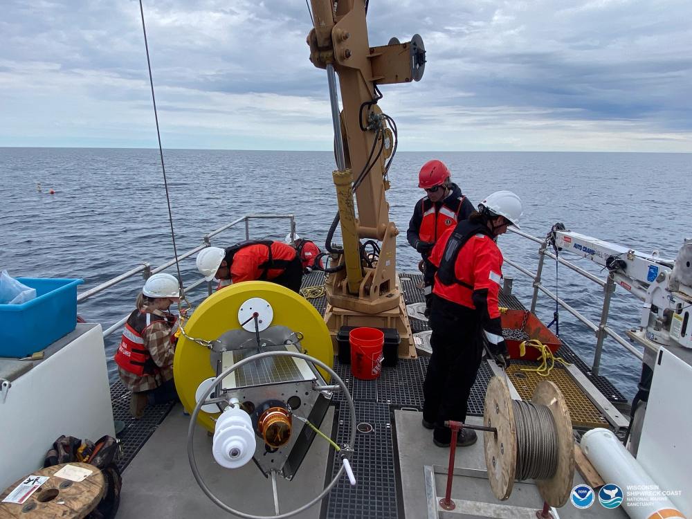
Since 2022, three compact, solar-powered Sofar Ocean Spotter buoys and the Shipwreck Sentinel have been deployed each season, covering more than 70 miles of Wisconsin’s coastline. They provide real-time updates on water temperature, wave height, and wind speed—critical data for lakefront communities and mariners alike.
According to Wisconsin Shipwreck Coast National Marine Sanctuary Superintendent Russ Green, logging these values over long-time periods helps fill a void in Lake Michigan that was present before the sanctuary was designated.
“We saw real-time platforms increasing across the Great Lakes, but there was a gap in mid-Lake Michigan,” explains Green. “It made sense to fill that data gap and at the same time provide valuable safety information to boaters.”
read more at sancturies.noaa.gov.