National Hurricane Center to Issue New Forecast Cone Graphics for 2026 Hurricane Season
Posted
Last Updated
By noaa.gov, noaa.gov.
As part of a suite of product improvements for the 2026 hurricane season [PDF], NOAA’s National Hurricane Center (NHC) is implementing two new tropical products and services: a new operational hurricane track cone map, and new storm surge alerts for Hawaii.
“These improvements empower communities to prepare earlier and more effectively for dangerous hazards from tropical storms and hurricanes,” said Michael Brennan, director, NOAA’s National Hurricane Center.
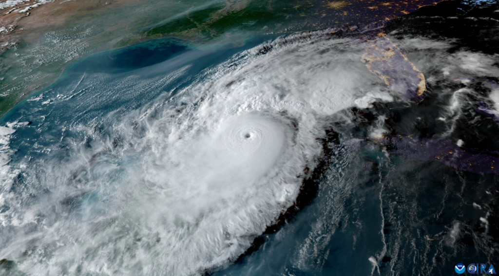
Improved Tropical Cyclone Forecast Cone
The tropical cyclone graphic helps communities remain vigilant from the dangers posed by wind hazards associated with hurricanes and tropical storms, including in locations away from the coast. In 2026, the forecast cone will now include tropical storm and hurricane watches and warnings for inland areas. The additional information follows a successful experimental phase last year, which demonstrated the improved forecast cone enabled inland communities to better understand and prepare for the danger posed by tropical cyclone winds.
")
What to know about the new cone graphic:
- Incorporates all land-based (coastal and inland) tropical storm and hurricane watches and warnings in effect for the continental United States, Hawaii, Puerto Rico, and the U.S. Virgin Islands;
- Uses single shading for the entire 5-day outlook cone;
- Legend depicts symbols for areas where a hurricane watch and tropical storm warning are both in effect (represented by diagonal pink and blue lines); and
- Full and intermediate Tropical Cyclone Advisories are/will be publicly available on hurricanes.gov.
NHC will also be introducing a new experimental version of the NHC’s Tropical Cyclone Track Forecast Cone. Since its debut in 2002, the cone has shown where the tropical cyclone’s forecast center is likely to go, based on past forecast calculations.
Read the full article here: National Hurricane Center to Issue New Forecast Cone Graphics for 2026 Hurricane Season