NOAA’s National Weather Service is predicting El Niño is likely to emerge by July 2026 and continue through the winter, and for many locations in the U.S. this could mean more high tide flooding.
To understand why more flooding is expected, it helps to understand what El Niño is and what it does. El Niño (and its counterpart, La Niña) are the warm and cool phases of a natural climate pattern across the tropical Pacific known as the El Niño-Southern Oscillation, often referred to as “ENSO.” The pattern shifts back and forth between the cooler and warmer phases every two to seven years. There’s also a phase in between, ENSO Neutral, when sea surface temperatures are generally close to average. This neutral phase can last for months or years.
During an El Niño, the trade winds weaken across the tropical Pacific, triggering Kelvin waves that travel eastward along the equator and then up the west coast of the Americas, warming the upper ocean and raising both sea surface temperatures and sea levels for several months or longer.
While the peak strength of the 2026 El Niño remains to be seen, scientists know that an El Nino can affect weather significantly, as warmer waters cause the Pacific jet stream to move south of its neutral position. Elevated sea levels along the west coast of the U.S. can occur, causing high tides and strong surf to ride higher and push much further inland than normal. Along the Atlantic coast, the shift in the jet stream often steers storms towards the mid-Atlantic, resulting in more storm surge events. Higher than normal rain can also occur along the U.S. Gulf and Southeast Coasts.
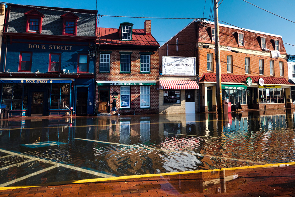
High-tide flooding on October 24, 2017, submerged roads and parking areas along Dock Street, in the historic heart of Annapolis, Maryland. Photo by Will Parson, Chesapeake Bay Program. Used with permission.