Tides Today & Tomorrow in Levelock, AK
Printing our tide charts?
Help us keep our doors open and lights on by registering as a member of US Harbors.
It's simple and free!
Levelock, AK Tides - Feb 1987
| Date | High Tide | Low Tide | Sun | Moon | ||||||||
|---|---|---|---|---|---|---|---|---|---|---|---|---|
| AM | ft | PM | ft | AM | ft | PM | ft | Rise | Set | |||
| 1 | Sun | 6:16 | 8.3 | 6:53 | 10.9 | 2:43 | 0.3 | 2:20 | -0.1 | 9:36 | 5:45 |  |
| 2 | Mon | 7:11 | 8.3 | 7:42 | 10.4 | 3:31 | -0.1 | 3:29 | 0.2 | 9:34 | 5:48 |  |
| 3 | Tue | 8:06 | 8.4 | 8:31 | 9.8 | 4:19 | -0.4 | 4:31 | 0.5 | 9:31 | 5:50 | |
| 4 | Wed | 9:01 | 8.4 | 9:19 | 9.2 | 5:08 | -0.6 | 5:33 | 0.8 | 9:29 | 5:53 | |
| 5 | Thu | 9:54 | 8.5 | 10:06 | 8.6 | 6:00 | -0.7 | 6:34 | 1.0 | 9:27 | 5:55 |  |
| 6 | Fri | 10:48 | 8.6 | 10:55 | 8.1 | 6:51 | -0.6 | 7:31 | 1.1 | 9:24 | 5:58 | |
| 7 | Sat | 11:41 | 8.7 | 11:45 | 7.7 | 7:41 | -0.6 | 8:25 | 1.2 | 9:22 | 6:00 | |
| 8 | Sun | 12:32 | 8.9 | 8:30 | -0.4 | 9:19 | 1.2 | 9:19 | 6:03 | | ||
| 9 | Mon | 12:33 | 7.5 | 1:19 | 9.0 | 9:19 | -0.2 | 10:11 | 1.3 | 9:17 | 6:05 |  |
| 10 | Tue | 1:21 | 7.4 | 2:05 | 9.2 | 10:08 | -0.1 | 11:00 | 1.3 | 9:14 | 6:08 | |
| 11 | Wed | 2:08 | 7.2 | 2:53 | 9.2 | 10:54 | 0.1 | 11:48 | 1.3 | 9:12 | 6:10 | |
| 12 | Thu | 2:58 | 7.1 | 3:43 | 9.3 | 11:38 | 0.3 | 9:09 | 6:13 | | ||
| 13 | Fri | 3:49 | 7.1 | 4:32 | 9.5 | 12:37 | 1.3 | 12:24 | 0.6 | 9:07 | 6:15 | |
| 14 | Sat | 4:41 | 7.2 | 5:19 | 9.6 | 1:28 | 1.3 | 1:15 | 1.0 | 9:04 | 6:18 |  |
| 15 | Sun | 5:31 | 7.3 | 6:04 | 9.6 | 2:18 | 1.2 | 2:11 | 1.3 | 9:02 | 6:20 | |
| 16 | Mon | 6:20 | 7.5 | 6:50 | 9.5 | 3:04 | 1.1 | 3:02 | 1.6 | 8:59 | 6:23 | |
| 17 | Tue | 7:10 | 7.7 | 7:36 | 9.3 | 3:48 | 1.1 | 3:51 | 1.9 | 8:56 | 6:25 |  |
| 18 | Wed | 8:01 | 8.1 | 8:23 | 9.1 | 4:29 | 1.2 | 4:42 | 2.2 | 8:54 | 6:28 | |
| 19 | Thu | 8:52 | 8.5 | 9:10 | 8.7 | 5:09 | 1.3 | 5:40 | 2.3 | 8:51 | 6:30 | |
| 20 | Fri | 9:43 | 9.0 | 9:58 | 8.4 | 4:00 | 1.3 | 6:37 | 2.4 | 8:48 | 6:33 | |
| 21 | Sat | 10:35 | 9.5 | 10:48 | 8.2 | 4:18 | 1.0 | 7:31 | 2.3 | 8:46 | 6:35 |  |
| 22 | Sun | 11:29 | 10.0 | 11:39 | 8.1 | 4:54 | 0.6 | 8:22 | 2.2 | 8:43 | 6:38 | |
| 23 | Mon | 12:22 | 10.4 | 5:49 | 0.3 | 9:14 | 2.0 | 8:40 | 6:40 | | ||
| 24 | Tue | 12:31 | 8.1 | 1:14 | 10.7 | 6:53 | 0.0 | 10:04 | 1.8 | 8:37 | 6:43 |  |
| 25 | Wed | 1:22 | 8.2 | 2:06 | 10.9 | 7:56 | -0.2 | 10:52 | 1.5 | 8:35 | 6:45 | |
| 26 | Thu | 2:14 | 8.2 | 2:58 | 10.9 | 9:04 | -0.3 | 11:39 | 1.2 | 8:32 | 6:48 | |
| 27 | Fri | 3:09 | 8.3 | 3:53 | 10.7 | 10:20 | -0.3 | 8:29 | 6:50 | | ||
| 28 | Sat | 4:06 | 8.4 | 4:45 | 10.6 | 12:27 | 0.8 | 11:35 AM | -0.2 | 8:26 | 6:53 | |
| Date | High Tide | Low Tide | Sun | Moon | ||||||||
| AM | ft | PM | ft | AM | ft | PM | ft | Rise | Set | |||
www.USHarbors.com
© 2026 US Harbors LLC All rights reserved
The US Harbors tide chart design is protected by copyright. It may be printed for personal use only.
Any commercial use, modification, redistribution, or repackaging without written permission is strictly prohibited.
Common Questions About Levelock, AK Tides
Show AllWhat time does the tide turn (slack tide) in Levelock, AK today?
Slack tide in Levelock, AK is approximately 5:06 pm — midway between the next high and low tide, when tidal current is weakest. This is the preferred window for boat crossings, underwater visibility, and fishing in areas with strong currents.
Is this week a spring tide or neap tide in Levelock, AK?
Levelock, AK is currently in a spring phase. Tonight's moon is 8% illuminated. Spring tides (largest swings) occur near new and full moons; neap tides (smallest swings) occur near first and third quarter moons. Tidal ranges this week are near their weekly maximum.
What datum are Levelock, AK tide heights measured from?
Tide heights on this page are measured from Mean Lower Low Water (MLLW), the U.S. NOAA standard. A height of 0 ft represents the 19-year average of each day's lower low tide. Negative values indicate a "minus tide" — water levels below that long-term reference.
What factors can affect the tide predictions for Levelock, AK?
Tide predictions for Levelock, AK come from NOAA's harmonic analysis and are typically accurate within about ±10 minutes on timing and ±0.5 ft on height. Actual water levels can deviate further due to sustained winds, atmospheric pressure changes, river flow, and storm surge. During major weather events, be sure to check US Harbors weather pages for factors that could impact tidal predictions.
Which NOAA station provides tide data for Levelock, AK?
Tide data for Levelock, AK is sourced from NOAA Station #9465419. View the official NOAA station page at https://tidesandcurrents.noaa.gov/stationhome.html?id=9465419.
What is the moon phase in Levelock, AK tonight?
Tonight the moon over Levelock, AK is Waxing Crescent (8% illuminated). This places Levelock, AK in a spring tide cycle, so tidal ranges are near their weekly maximum this week.
US Harbors Tidal Data
The data in our tide charts, tide tables, and tide graphs is provided by NOAA and others. These predictions are derived mathematically from numerous inputs, including data from historical tide stations and nearby locations where sensors are actively recording. As shown in the tide graph at the top of this page, “Predicted” tides (blue) are what forecasting models expect to happen. “Observed” tides (red) are those recorded by local sensors in real time, overlaid on the predictions for direct comparison. We display Observed water levels for a select group of harbors including Portland, Maine, where a physical sensor monitors water levels in real time.
FEATURED CONTENT
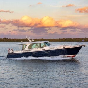
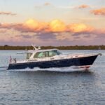
In The Zone: The Sabre 51 Salon Express
By US Harbors When Sabre Yachts completed construction of hull number 200 of its 48 Salon Express model, more than half the crew who built it had also worked on hull number one. The average tenure on that line was 12 years, and they produced a yacht that proved to… Learn More
Coastal News Updates See All
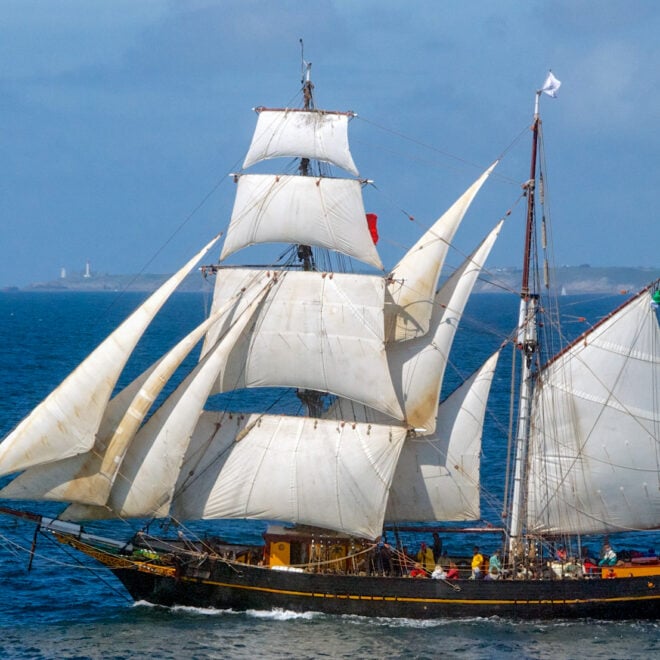
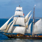
Back Aboard Tres Hombres: Sailing an Engineless Cargo Ship Through Europe's Historic Trade Routes
By Jordan Harssen, best4boats.com. In an era of mega container ships and global supply chains,… More
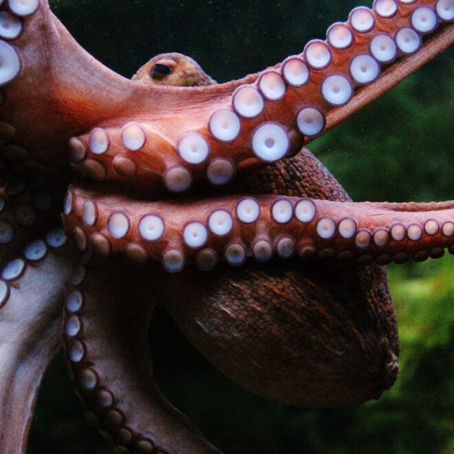
Remarkably Bright Creatures: A Story of Octopus Intelligence Set in the Pacific Northwest
By Janet Green Hammerman, best4boats.com. The Netflix adaptation of Shelby Van Pelt's bestselling novel Remarkably… More
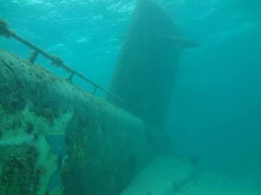
Into the Deep: Alvin Dives to Shackleton's and Scott's Lost Ships in the North Atlantic
By Ken Kostel, whoi.edu. Four decades after its legendary surveys of the Titanic, the submersible… More
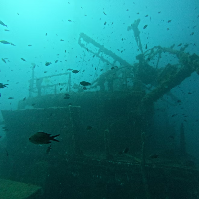
Eyes On The Deep: How Ocean Imaging Is Transforming Underwater Discovery
By Elise Hugus, whoi.edu. From ancient shipwrecks in the Black Sea to a lost WWI… More
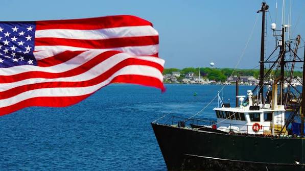
NOAA Announces Regional Priorities To Advance America-First Seafood Strategy
By noaa.gov, noaa.gov. Today, NOAA announced regional priorities to revitalize the U.S. seafood sector focused… More
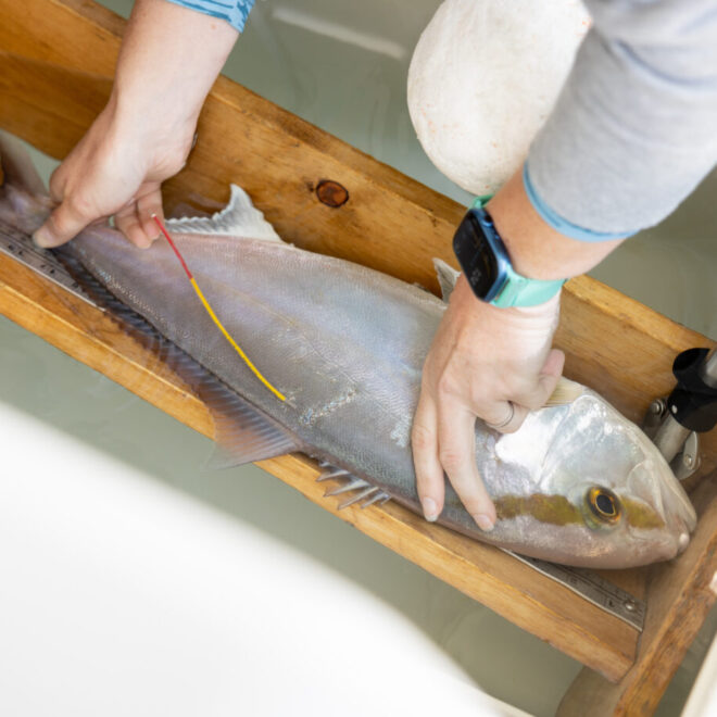
Research Project Provides New Estimates Of Greater Amberjack Abundance in U.S. South Atlantic, Gulf Of America
By seagrant.noaa.gov, seagrant.noaa.gov. A multi-year research project to estimate the number of greater amberjack in… More
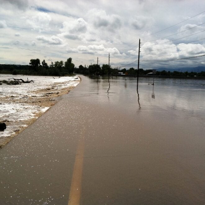
Sudden Danger: The Science And Stakes of Flash Flood Forecasting
By research.noaa.gov, research.noaa.gov. Though not as feared as tornadoes, hail, or lightning, flash floods are… More
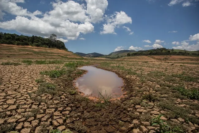
El Nino Forms, Expected To Strengthen, Say NOAA Forecasters
By noaa.gov, noaa.gov. NOAA’s National Weather Service announced today that El Nino has developed in… More
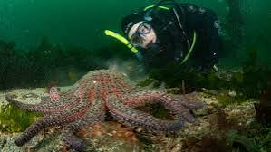
New eDNA Tool To Help Track Recovery Of Sunflower Sea Star, a Pacific Coast ‘Apex Predator’
By noaa.gov, noaa.gov. A wasting disease that surged during the intense 2013-2016 Pacific marine heatwave… More