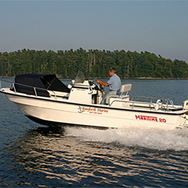
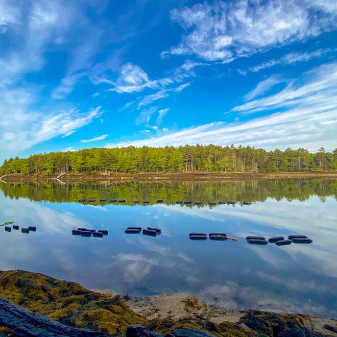
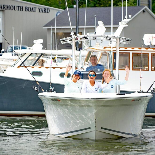
Weather Alerts
Winter Storm Warning issued February 16 at 6:14AM EST until February 17 at 3:00AM EST by NWS Gray ME
...SNOW TRANSITIONS TO WINTRY MIX WITH SLEET AND FREEZING RAIN
TODAY...
.Low pressure continues to bring a period of snow this morning. Snow
then changes to a mixture of snow, sleet, and freezing rain across
most of the area as one low passes to the west on today, and a
secondary low develops in the Gulf of Maine. The storm then moves
away tonight.
* WHAT...Heavy mixed precipitation. Additional snow accumulations
between 4 and 6 inches for a storm total of 6 to 9 inches, sleet
accumulations around 1 inch, and ice accumulations around one
tenth of an inch.
* WHERE...Portions of south central, southwest, and western Maine.
* WHEN...Until 3 AM EST Monday.
* IMPACTS...A snowstorm will bring plowable snow to the region with
a period of moderate travel impacts expected. A period of mixed
precipitation is expected with air temperatures remaining below
freezing. Expect slippery road conditions and avoid travel if
possible.
Gale Warning issued February 16 at 6:21AM EST until February 17 at 7:00AM EST by NWS Gray ME
* WHAT...Northeast winds 15 to 25 kt with gusts up to 35 kt and
seas 4 to 7 ft expected.
* WHERE...Penobscot Bay and Casco Bay.
* WHEN...Until 7 AM EST Monday.
* IMPACTS...Strong winds will cause hazardous seas which could
capsize or damage vessels and reduce visibility.