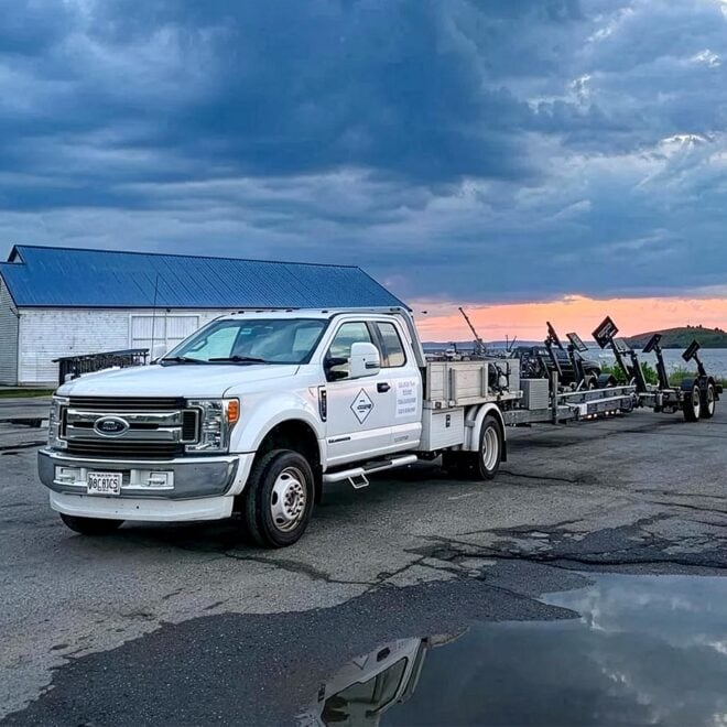
South Harpswell is a village on the east side of Potts Harbor. A town wharf with float landing is on the east side of the harbor, about 0.4 mile above Potts Point; depths of 6 feet are reported alongside the float. A marina and restaurant are on the west side of the harbor about 0.1 mile above Basin Point. Transient berthage, gasoline, diesel fuel, water, electricity, and ice are available; depths of 5 feet are reported alongside the float landing. A trailer at the marina can handle craft up to 35 feet for some engine repairs and open winter storage.
Navigation:
Click the “Map View” button above to see a chart of this harbor.
There are two entrances to the harbor. The eastern one, from Merriconeag Sound, is marked by buoys and a daybeacon. It has a depth of about 14 feet, but is narrow and crooked with strong tidal currents. It is suitable only for small craft with local knowledge.
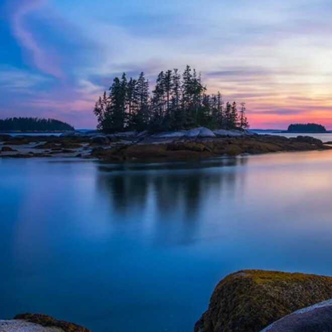
Pinkham Island, on the west side of Merriconeag Sound northward of the thorofare leading westward into Potts Harbor, has one house and is 31 feet high, bare, and grassy. Ledges, bare and covered, extend 500 yards southward of the island to a buoy. A channel northwestward of the island has a depth of at least 8 feet. It leads between shoals and should not be used by strangers.
The western entrance, between Upper Flag Island and Horse Island, is straight and about 225 yards wide at its narrowest part, between Horse Island and the edge of the shoal between Upper Flag Island and Thrumcap, a grass-covered rock. Upper Flag Island, 59 feet high, Little Birch Island, 14 feet high, and Horse Island, 23 feet high, are grass covered.
A ledge extending southwestward from Little Birch Island is marked by a bell buoy, and a shoal covered 3 feet, about 0.2 mile west of Upper Flag Island, is marked on its southwestern end by a buoy.