Boating, Fishing, and Travel Information for Ocracoke Island, NC
Sponsored Content
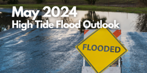
High Tide Flooding Predictions for May 2024
By US Harbors. Coastal Flooding Outlook for May 2024 Per NOAA, mean sea level is typically higher in the late spring due to changing weather patterns and increasing water temperatures. That said, the outlook for tidal flooding this May is pretty contained, and is certainly less than we saw a… Learn More
Fishing in Ocracoke Island, NC Map View
Coastal News Updates See All
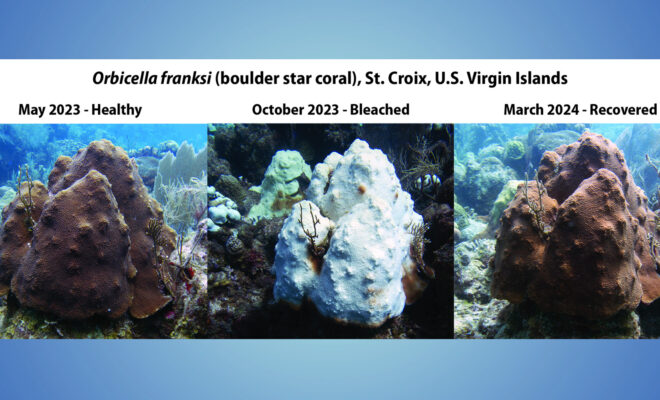
NOAA Confirms 4th Global Coral Bleaching Event
By noaa.gov. The world is currently experiencing a global coral bleaching event, according to NOAA scientists. This is the fourth global event on record and the second in the last 10 years. Bleaching-level heat stress, as remotely monitored and predicted by NOAA’s Coral Reef Watch (CRW), has been — and continues to… SEE MORE
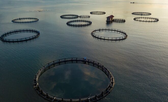
Addressing Aquaculture to Protect Coastal Communities
By Paul Molyneaux. Don’t Cage Our Oceans, a coalition of 55 fisheries and conservation groups, sent a delegation to Washington, D.C., on March 19, 20, and 21 to present legislators with information they are not getting from pro-aquaculture lobbyists. “We met with many Representatives and Senators and their staff members… SEE MORE
Cause Determined of 2023 Marlins II Fishing Vessel Fire
By Carli Stewart. On the evening of March 9, 2023, a fire broke out on the fishing vessel Marlins II, docked at the Westport Marina in Westport, Wash. Despite the swift response from the South Beach Regional Fire Authority (SBRFA), the vessel sustained significant damage, estimated at $950,000. Fortunately, no… SEE MORE