Confused About NOAA’s Printed Chart Messaging?
Posted
Last Updated
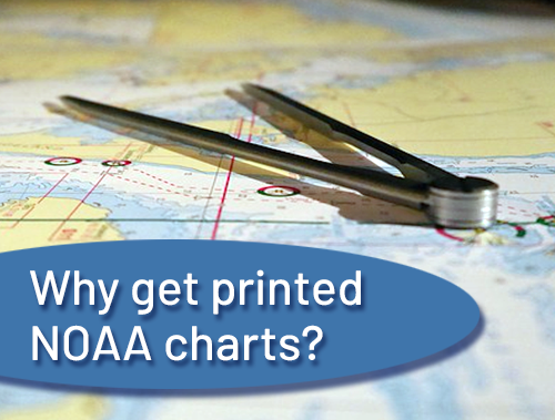
NOAA charts ARE still being printed, in spite of the confusing messaging you might have heard. There is an important reason they will never stop being printed: electronics are not perfect and anyone on a boat should have a back-up on board in case they fail. Plus may people who use charts on smaller boats, don’t see the point in investing in fancy electronic systems. Also, who doesn’t love to look at the big picture we can see on a printed chart?
The quick explanation for the confusing messaging is that NOAA has changed the type of file their charts are being printed from. Those of you who work in technology or design will know that this has been happening in every industry for many years: as our digital landscape evolves, file formats get updated to support growing needs and new capabilities. In fact NOAA has been evolving its charts since the beginning, changing colors, type, line weights, etc. as time progressed. Anyone interested in this can look the different versions of historical charts available for any single area, and see the evolution of their cartography. This file format change is significant as it allows NOAA to make updates very quickly, and have things be highly consistent across all of their charts, regardless of the medium through which they are delivered. Cartography, like all science and art, is ever-evolving!
US Harbors has the most up-to-date NOAA printed charts available for your area on our online store. You can choose from a variety of materials, from waterproof, to traditional, to wall decals.