Life-Threatening Currents All Along the East Coast
Posted
Last Updated
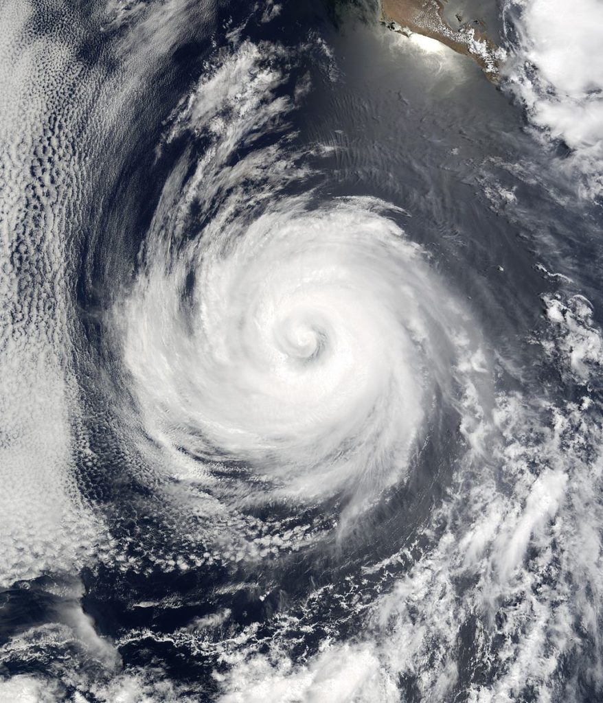
Tropical storm conditions in Bermuda on Wednesday, August 30, while Hurricane Franklin made its closest approach to the island. Life-threatening rip currents are still occurring along the East Coast of the US.
As these conditions are expected to continue during the next couple of days, both Hurricane Franklin and Idalia are expected to bring rough seas, according to NOAA maps.
Both hurricanes will brush North Carolina this week, with flash flooding happening in the Southeastern parts of the state. Forecasters warn seaman that the storms will be close enough to generate significant seas around Cape Hatteras to Cape Fear. In these areas, seas were up to 6 feet Monday and increased to 9 to 10 feet through Tuesday night.
Idalia is not forecast to get anywhere close to the northeast region; however, the stationary front that hangs over the east coast will tap into the tropical moisture from the hurricane and transport it up into the northeastern states.
The last reports show that Hurricane Franklin can pose life-threatening surf currents all along the East Coast, which are expected to continue throughout the week. Franklin is projected to slowly weaken as it travels further northeast over a remote part of the Atlantic.
Early Thursday, August 31, Hurricane Idalia weakened as a third storm, Tropical Storm Jose, formed in the central Atlantic region. Jose is expected to stick around another few days before being absorbed by what is currently Hurricane Franklin.
Continue Reading at National Fisherman.

