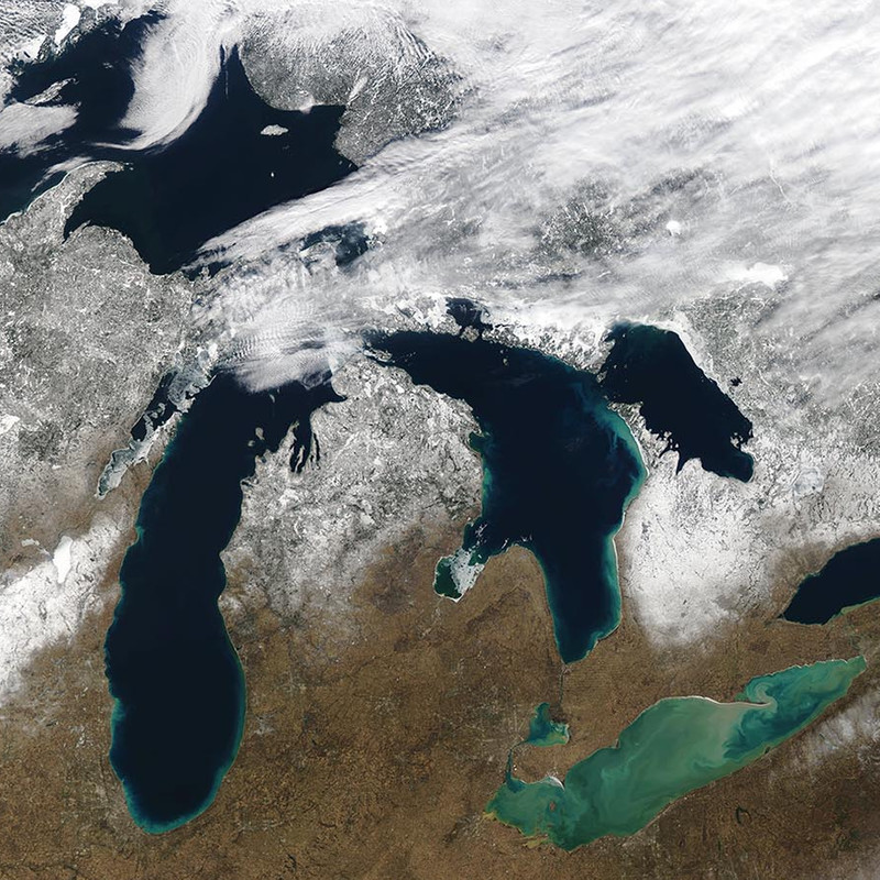
For the second consecutive year, ice cover on the Great Lakes remains significantly below average for this time of year, which typically sees the peak of ice cover at levels around 53 percent. As of February 11, total ice coverage across all lakes measured a mere 2.7 percent. Lakes Erie and Ontario are basically at—or tied with—their respective historic lows for this time of year, making both essentially ice-free. This record low ice cover is largely attributed to unusually warm temperatures throughout the region in December, paired with the generally short duration of Arctic air blasts.
The weather patterns prevailing in December play a crucial role in determining a season’s ice conditions. In recent years, numerous Decembers have exhibited above-average temperatures, with this winter notably featuring significantly warmer conditions. The delayed formation of ice due to the lack of cold air early in the season makes ice concentration harder to achieve.
Winter temperatures that are well above average have continued across much of the region surrounding the Great Lakes. Minnesota, Wisconsin, and Michigan are all experiencing their warmest meteorological winter (December through February) to date. Meanwhile, New York, Pennsylvania, and Ohio are experiencing their second, third, and fourth warmest meteorological winters.
January 2024 did see some periods of cold, but they were not sustained long enough to allow ice coverage to increase, peaking at 15-20 percent during the third week of the month. Typically, maximum ice cover usually peaks in late February or early March, with the Great Lakes consistently reaching a basin-wide maximum in annual ice coverage of about 53 percent since reliable satellite data collection began in 1973. However, over the last 50 years, the amount of ice has dropped about 5 percent each decade, amounting to a 25 percent decrease.
read more at nesdis.noaa.gov.