The Sea Level Calculator: A Comprehensive Data Resource for Coastal Communities
Posted
Last Updated
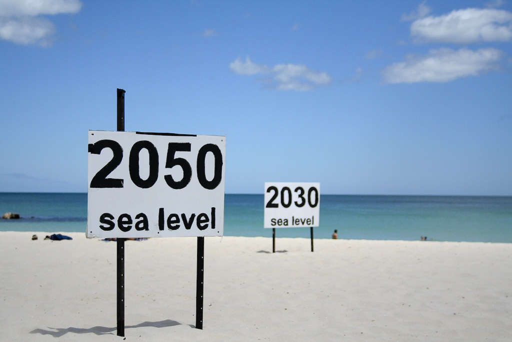
With changing sea levels and more frequent and intense storms, tens of millions of people in the U.S. are at risk from coastal hazards. Communities need to understand how sea level and flooding are changing in their location so they can adapt to these risks.
NOAA combined existing data into a comprehensive product to make this information more accessible. The Sea Level Calculator is a technical tool that allows users to see how sea level and flooding frequency have changed in their location over time. Users can access location-specific data and generate maps and graphics that showcase future scenarios as well as past and current conditions.
The calculator includes five quick views tailored to your location and updated continuously as new data becomes available. With more accessible data, maps, and visualizations, communities can plan, design, and build for more resilient coasts.
Future Sea Levels
While ice sheet melting is the largest contributor to sea level rise, other processes, such as land motion, contribute to sea level changes–rising or, in some cases, falling–at the local level. The sea level calculator can be used to explore projections and the processes contributing to sea level change. Users can also visualize when different flooding thresholds will be reached and when high tide flooding might become a daily occurrence.
- How it’s used: Local sea level scenarios can help chief resilience officers with coastal planning over near- and long-term timelines. Using the tool, they can compare flooding scenarios that are most appropriate for their community, illustrating where to invest resilience funding. Knowing at what elevations flooding typically occurs in their communities, they can use the thresholds feature to demonstrate when those lines will be crossed.

read more at coast.noaa.gov.