Deep Learning on the Rocky Shore
Posted
Last Updated
By tula.org.
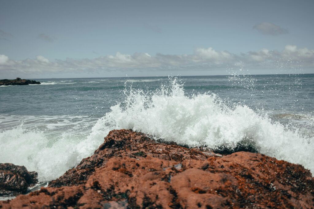
Drones allow researchers to do marine surveys from the sky. Now artificial intelligence is offering a quantum leap in image processing.
What are your respective backgrounds in working with these kinds of AI processes?
Taylor: I did my master’s degree at Ontario’s University of Waterloo on computer vision systems for autonomous vehicles, which meant a lot of machine learning training as well as research in that area. After grad school, I came to Hakai and took on a project to detect kelp beds in drone imagery, and then later on, using aerial imagery. And so this mussel-mapping work is an extension of that, where we’re looking at mussel beds on rocks rather than kelp in water.
Will: I’ve been working in the remote sensing and GIS fields for over a decade. I did my training at the University of Calgary with satellite remote sensing and airborne systems, like aircraft, with traditional remote sensing techniques, and doing classification and time series analysis. The last few years we’ve been using drones at Hakai, and the AI thing is new to me, so it’s been quite interesting to learn that process. So I know a lot about the other techniques, mainly the drone side of things, and I’ve been learning a lot about how to implement the AI part of it.
From a standpoint of efficiency, it seems like artificial intelligence is offering us a quantum leap in terms of processing these visuals.
Will: Yeah, absolutely, We’re now talking about being able to do quantification of species over large areas in a matter of minutes, rather than the hours or days it would take to process individual scenes by hand.
read more at tula.org.