Scientists study shipwreck sites to better understand ecological processes like succession, zonation, connectivity, energy flow, disturbance, and degradation. In the future, shipwrecks may provide opportunities to establish a global monitoring network for studying these processes in aquatic environments. Illustration by Alex Boersma.

Scientists Study Shipwrecks to Understand Underwater Ecology

1/28/2024 - By coastalscience.noaa.gov. In a newly published paper in BioScience, NCCOS scientists collaborated with an international team of ecologists and archaeologists to describe how shipwrecks provide a unique opportunity to study complex ecological processes. The synthesis focuses on a range of fundamental ecological functions and processes and how they manifest on and around shipwrecks.… SEE MORE
gettyimages.com

Unsettled Pacific Ocean Offers Few Clear Indicators for Salmon Success in 2024

1/26/2024 - By fisheries.noaa.gov Want to learn how the Pacific Ocean is likely to change and affect salmon survival in the coming year? Stay tuned, scientists say. The ocean indicators that NOAA’s Northwest Fisheries Science Center researchers track off Newport, on the Central Oregon Coast, are decidedly mixed for the coming year. El Niño… SEE MORE
Workshop participants collect water samples to explore phytoplankton at Bodega Bay Marine Laboratory.

California Tribal Communities Ready to Monitor Culturally Important Marine Resources Impacted by Harmful Algal Blooms

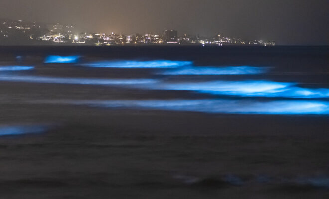
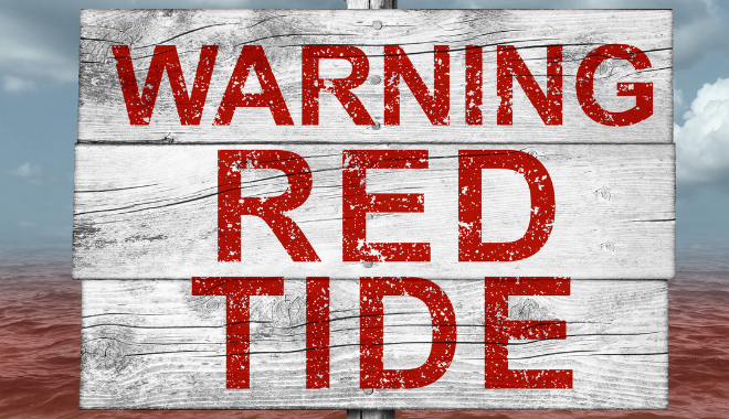
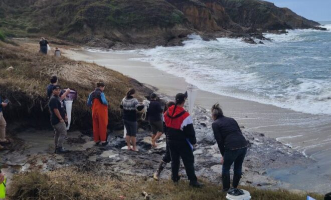
1/24/2024 - By coastalscience.noaa.gov Traditional shellfish resources are often the lifeway to coastal tribes who rely on indigenous fisheries for subsistence. However, the expanding threat of harmful algal blooms (HABs) contaminate shellfish and poison local communities. NCCOS engages both locally and through regional partnerships with tribal nations to design workshops specific to… SEE MORE
en.wikipedia.org

How the Great Lakes Formed—And the Mystery of Who Watched It Happen

1/18/2024 - By  Gemma Tarlach Now, thanks to innovative technology, determination, and luck, archaeologists are bringing this lost human history to the surface, and piecing together the mystery of a hunter-gatherer society unlike any other in the region. The North American Great Lakes, sometimes called inland seas, are the world’s largest freshwater system. They… SEE MORE
The ISFS tower configuration was lovingly called the "Bermuda Triangle" because the main weather towers were positioned in a triangle to gather data from a variety of angles and account for changing wind direction. The arms extending from the towers contain a combination of sonic anemometers/gas analyzers that take measurements, which helps scientists to determine what happens to snow and water vapor at differing heights.

How Much Snow Disappears Into Thin Air?

1/9/2024 - By ucar.edu Scientists have wrapped up a major field project high in the Colorado mountains that will eventually help water resource managers to better quantify critical water resources stored in mountain snowpacks. The Sublimation of Snow (SOS) project, which ran from October 2022 to May 2023, aims to advance understanding… SEE MORE
LightHouse

Monitoring Marine Life–In Close to Real-Time–with eDNA Sensors

9/28/2023 - By sustainability.stanford.edu. An optical sensor smaller than a postage stamp could help coastal communities monitor some of the world’s largest marine protected areas. On a warm day this spring, an airplane carrying Stanford experimental physicist Halleh Balch touched down on the island nation of Palau in the Western Pacific as a brewing… SEE MORE