How the Great Lakes Formed—And the Mystery of Who Watched It Happen
Posted
Last Updated
Now, thanks to innovative technology, determination, and luck, archaeologists are bringing this lost human history to the surface, and piecing together the mystery of a hunter-gatherer society unlike any other in the region.
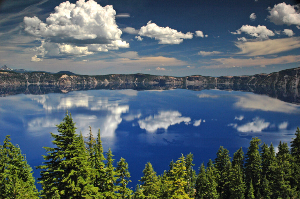
The North American Great Lakes, sometimes called inland seas, are the world’s largest freshwater system. They seem as immense and ancient as any ocean, but Superior, Michigan, Huron, Erie, and Ontario, as we know them today, are younger than Stonehenge. For generations, people watched them form and adapted as the landscape changed again and again.
Between the end of the last ice age more than 10,000 years ago and about 3,000 years ago, the entire Great Lakes region experienced dramatic shifts in environment, climate, and elevation. Glaciers that covered it retreated in fits and starts, and paleolakes formed and disappeared again, leaving behind boggy tundra. The bedrock itself rose and fell like a very large trampoline. Through it all, humans moved across the landscape, hunting, foraging, and even trading along networks spanning thousands of miles.
Understanding these radically evolving landscapes and the people who lived on them has long been a challenge for archaeologists—especially if you’re looking on land. Large portions of the land around today’s Great Lakes have acidic soil, which quickly breaks down everything from bones to wooden structures. Centuries of farming and other intensive land use have also destroyed or damaged many possible archaeological sites.
Beneath the waves, however, it’s a different story. There, archaeologists have found hunting structures and hearths, weapons and tools, all swallowed by rising waters and untouched for millennia.
Learn More at atlasobscura.com