Information and Resources to help you navigate Covid-19
We here at US Harbors are collecting all the information we can to help you through these strange times.
The situation around the country, and the world, is changing at a rapid rate. We endeavor to keep our information up to date and relevant. Please be aware that regulations do vary from state to state. You can find all our Covid-19 related news under this tag /covid-19
Is Boating a Safe Social Distancing Activity?
In most circumstances, boating is a safe activity in terms of limiting infection. Please be aware of the specific rules at the local marina or town boat ramp – getting into the water can be the most high risk part of the boating trip, depending on how busy the boat launch area is. Please also take into consideration who accompanies you on your boat. It is advised to limit boat passengers to those already in your household. Some states have a limit on the number of people allowed on a boat.
Once out on the water, maintain distance from other boats, and be extra vigilant of those in the water around you. Boaters, as a type, are generally very safety conscious, and that attitude is just as important now as it ever is. Every prevented accident is one less thing that our brave key workers have tackle – keeping the resources available to deal with the covid-19 pandemic.
More rules, tips and advice can be found here: Must-Know Rules for 2020 Summer Boating During COVID 19
Where Can I Go Boating?
What Boat Ramps are Open in My Area?
What events are still going on?
Many events have been cancelled to limit spread of the coronavirus. Some are able to transition to a virtual. online version of the event, and some are postponed till later in the year, or the following year altogether. We are still posting events on our site, however we encourage you to check directly with the organizer before attending. You can see all the events here: usharbors.com/event-listings/
Help for Coastal Businesses
We are posting updates from any and all coastal business, organization or local authority. If you want to get word out to boaters in your area, you can submit news for our weekly update here: usharbors.com/supporting-our-coastal-businesses/
Health & Safety Filter
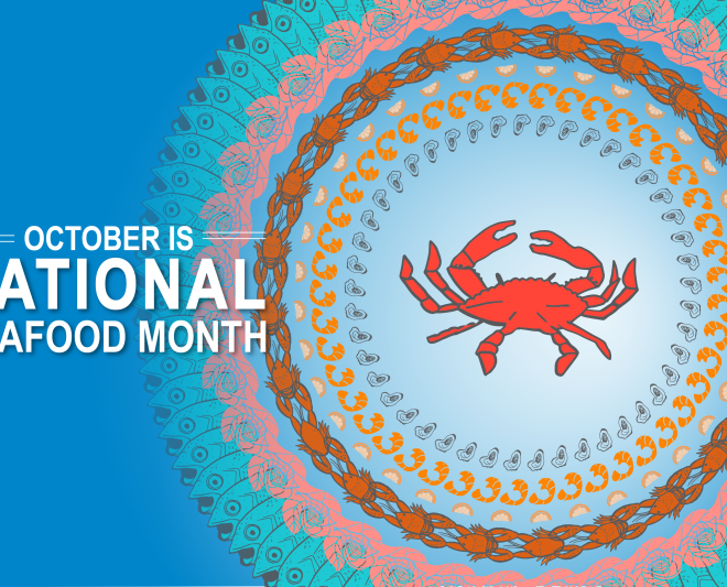
Celebrate National Seafood Month
By fisheries.noaa.gov, fisheries.noaa.gov. As we welcome autumn, we also celebrate National Seafood Month! Join us all month long to celebrate sustainable seafood with new feature stories, recipes, videos, and more. There’s a lot to celebrate because—aside from being scrumptious—seafood is good for you, good for the economy, and good for… SEE MORE
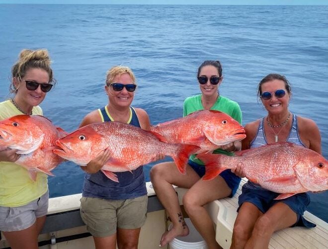
NOAA Announces 2026 Federal Recreational Red Snapper Season, Exempted Fishing Permits in South Atlantic
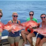
By fisheries.noaa.gov, fisheries.noaa.gov. NOAA Fisheries announced today the 2026 federal recreational red snapper fishing season in the South Atlantic and the issuance of three exempted fishing permits (EFPs) to Florida, Georgia, and South Carolina. The federal recreational red snapper season will open for three days this year from October 9… SEE MORE
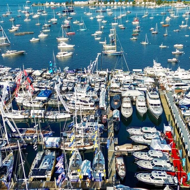
Newport Boat Show 2026: Award Winners, New Boats and a Castle Hill Sunset
By US Harbors The weather was perfect as the US Harbors crew arrived in Newport on Thursday for the opening day of the 55th Newport International Boat Show. The show marks the unofficial start of the fall boat show season, and part of its appeal is that it’s just steps… SEE MORE
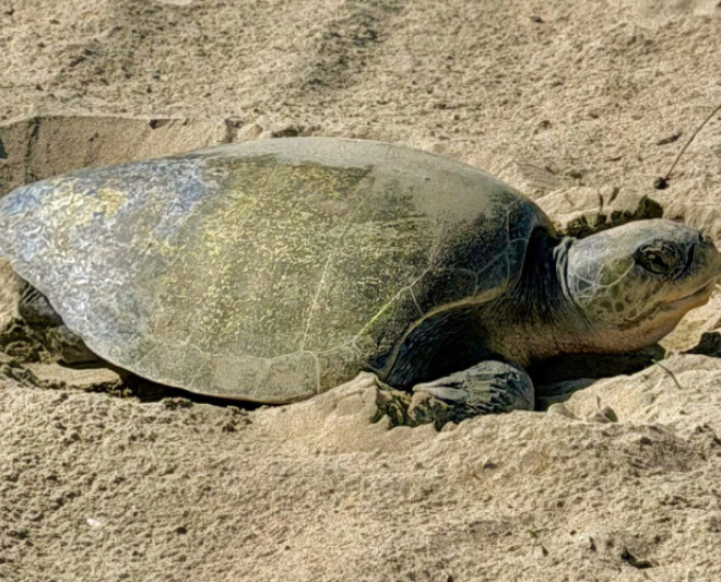
First-Ever Olive Ridley Sea Turtle Nested in California
By fisheries.noaa.gov, fisheries.noaa.gov. An olive ridley sea turtle was observed digging a nest and laying eggs on the beach near Seal Beach, in Orange County, California on September 16, 2026. This is the first-ever recorded nest for any sea turtle species on the U.S. West Coast. The nesting female was discovered about 3 p.m.… SEE MORE
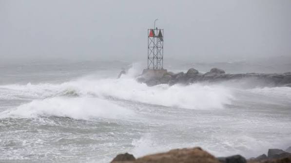
Weekend nor’easter likely to bring damaging winds, coastal flooding
By noaa.gov, noaa.gov. Forecasters at NOAA’s National Weather Service (NWS) are monitoring a powerful nor’easter bringing damaging wind gusts and dangerous coastal flooding to the Northeast this weekend. The New York City metro area and New Jersey may be especially impacted by this storm. A rapidly deepening storm along the… SEE MORE
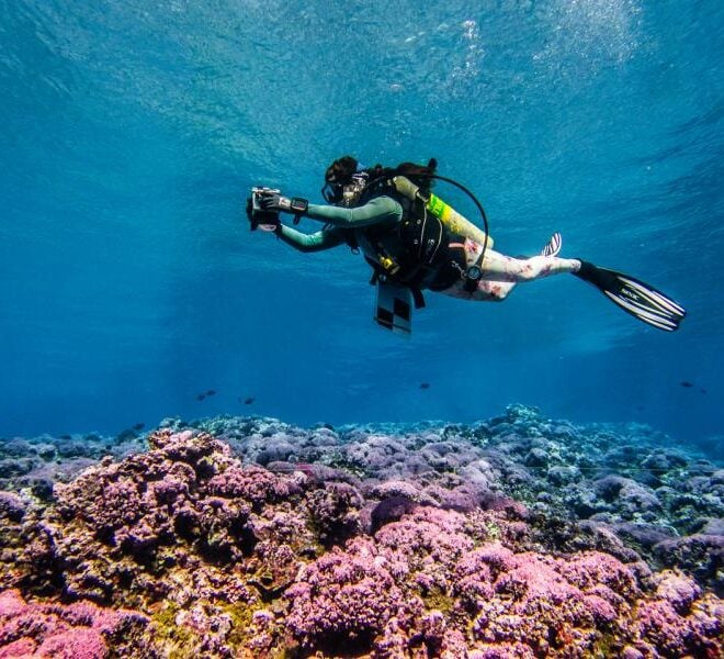
2026 Pacific Coral Surveys Complete
By fisheries.noaa.gov, fisheries.noaa.gov. NOAA scientists returned from American Samoa and the Pacific Islands Heritage Marine National Monument after conducting coral reef monitoring surveys. The team sailed south from Honolulu to Jarvis Island, Palmyra Atoll, and Kingman Reef, where they completed their suite of surveys. After a 2,000 kilometer transit down… SEE MORE
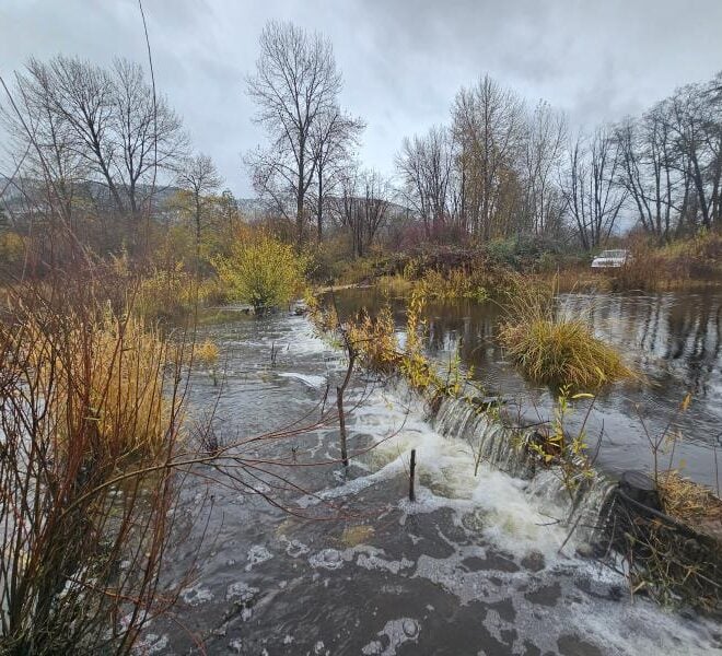
Start-Up Beaver Dams Transform Parched California Creeks into Salmon Havens, New Research Finds
By fisheries.noaa.gov, fisheries.noaa.gov. Battered by early gold mining and diminished by logging and diversions,the lower section of Sugar Creek often ran dry in summer. The tributary of the Scott River in Northern California’s Klamath Basin once supported coho salmon—but as it diminished, so did they. In 2014, NOAA Fisheries researchers… SEE MORE
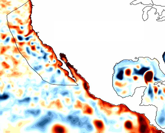
Ocean Indicators Help Track El Niño’s Arrival on the West Coast
By fisheries.noaa.gov, fisheries.noaa.gov. Has El Niño reached the West Coast? You might think it has. After all, the ocean off Southern and Central California is unusually warm. But that is from a recent marine heatwave predates the current El Niño. Much of the Pacific Coast is experiencing relatively normal conditions while still… SEE MORE