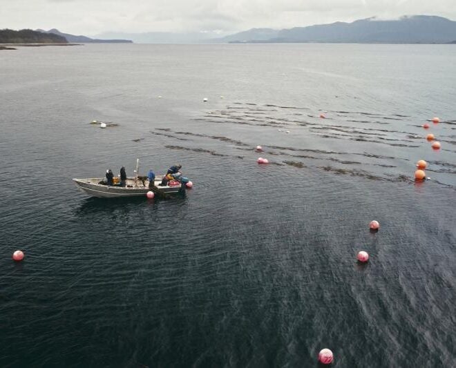
A marina, in the town boat basin on the N side of the river, has limited berthage, gasoline, diesel fuel, water, ice, launching ramp, and limited marine supplies. Yankeetown Coast Guard Station is at Yankeetown.
Navigation: The Withlacoochee River rises in the central part of the Florida Peninsula and empties into the Gulf about 17 miles SE of Cedar Keys. Withlacoochee River Entrance Light 1 (28°58’06″N., 82°49’42″W.), 16 feet above the water and shown from a pile with a green square daymark, marks the approach.
A dredged channel leads from the Gulf to a turning basin at Inglis, about 7 miles above the mouth. Navigation is possible above the turning basin in an unmarked channel to a spillway about 11 miles above the mouth. In 2006, the controlling depth was 3.2 feet (4.5 feet at midchannel) to Daybeacon 46; thence in 1988-1999, the centerline controlling depth was 9.5 feet to the turning basin at Inglis with 10 feet on centerline in the turning basin; thence in 1975, 4 feet to a point about 1 mile below the spillway; thence in 1993, 2 feet was reported to the spillway where navigation ends. The dredged channel is marked by lights, and daybeacons to a point about 1 mile above the mouth.
Yankeetown, the principal town on the river, is a small winter resort and fishing village about 3 miles above the mouth.