Welcome to Havre De Grace, MD
Boating Resources for Havre De Grace, MD
Important Contacts
Harbormaster in Havre De Grace, MD
Charts, Navigation, & Guides
Online Nautical Chart for Havre De Grace, MD
Pilot Guide Info for Havre De Grace, MD
Important Locations & Services
Weather Conditions & Forecasts
Check Tides in Havre De Grace, MD
Print a Tide Chart for Havre De Grace, MD
Other Resources
FEATURED CONTENT

In The Zone: The Sabre 51 Salon Express
By US Harbors When Sabre Yachts completed construction of hull number 200 of its 48 Salon Express model, more than half the crew who built it had also worked on hull number one. The average tenure on that line was 12 years, and they produced a yacht that proved to… Learn More
Coastal News Updates See All
Gulf Fishery Management: Progress Through Partnership
By fisheries.noaa.gov, fisheries.noaa.gov. From spiny lobster in the Florida Keys to red snapper off the coast of Texas, the Gulf of America’s rich waters support robust recreational and commercial fisheries. In fact, this area leads the nation in recreational landings, generates the second largest commercial landings revenue, and fuels a $20 billion annual fishing economy. A… SEE MORE
Why NOAA Matters: Maine's Island Institute Makes the Case
Why NOAA Matters: Maine’s Island Institute Makes the Case Every mariner who checks a forecast before leaving the dock, every harbormaster tracking a king tide, and every fishing family checking for water temperature shifts is relying, often without thinking about it, on the National Oceanic and Atmospheric Administration, commonly shortened… SEE MORE
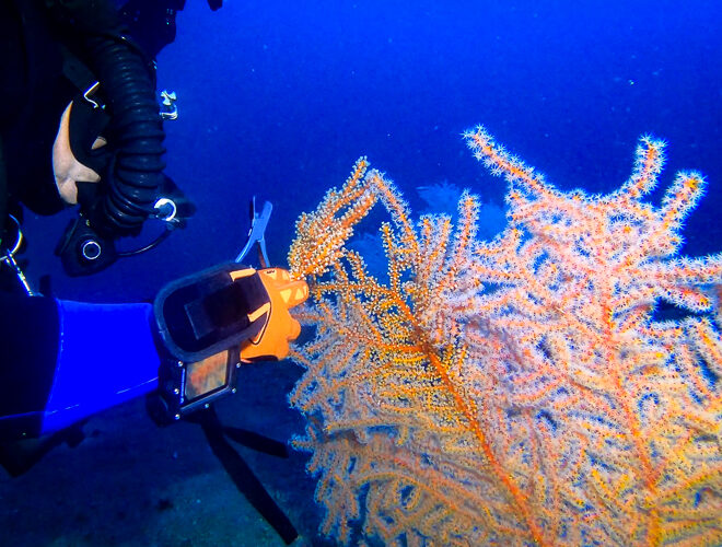
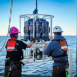
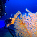
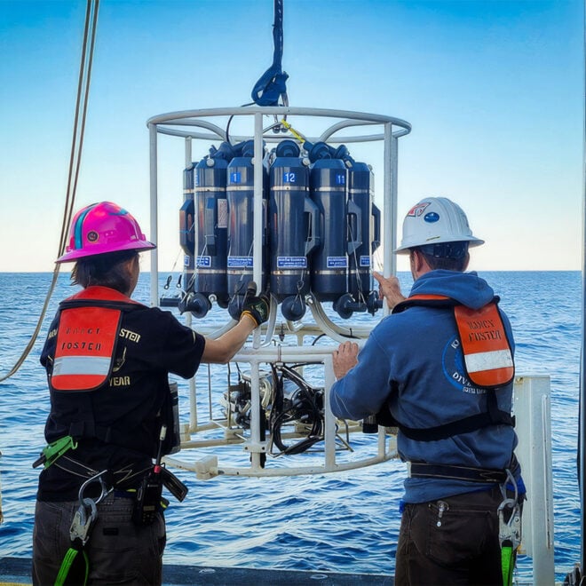
Deep Diving and Innovation to Restore the Gulf's Mesophotic Corals
By fisheries.noaa.gov, fisheries.noaa.gov. Deep in the Gulf of America lies a vital but little-known habitat. In the “mesophotic” (middle light) zone are coral ecosystems that are essential to the Gulf’s food web. In 2010, the Deepwater Horizon oil spill injured extensive areas of this delicate environment. Today, scientists across federal agencies and… SEE MORE