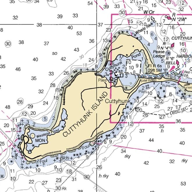
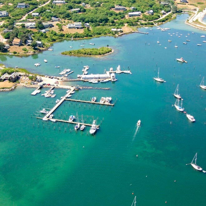
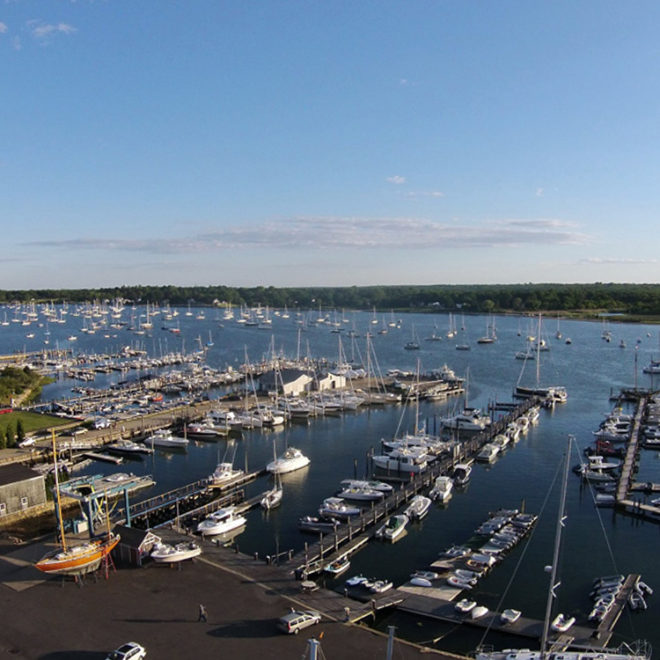
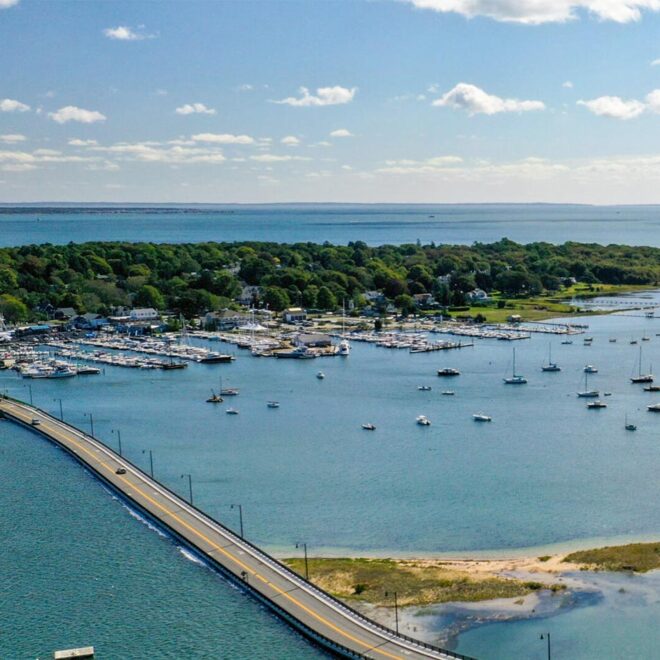
Exploring Maps and Charts of Cuttyhunk, MA Chart View Map View Explore the RegionExplore the State Featured Local Businesses Cuttyhunk Harbormaster Cuttyhunk Marina South Wharf Yacht Yard & Marina Cape Yachts Dartmouth Harbormaster Concordia Company